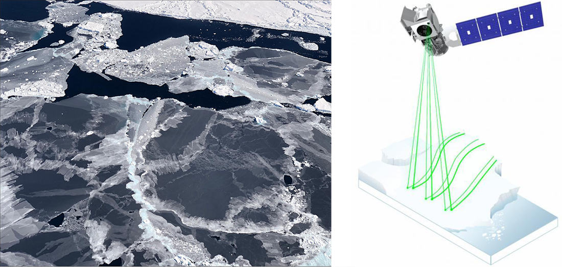
Sea ice forms in open water. NASA's ICESat-2 satellite is able to detect the thin sea ice, allowing scientists to more accurately track seasonal ice formation. Both images courtesy of NASA.
Sea ice forms in open water. NASA's ICESat-2 satellite is able to detect the thin sea ice, allowing scientists to more accurately track seasonal ice formation. Both images courtesy of NASA.