
Accurately predicting seasonal changes in coastal sea levels is crucial for managing flood risks, yet current model limitations present challenges.
Accurately predicting seasonal changes in coastal sea levels is crucial for managing flood risks, yet current model limitations present challenges.
A new study suggests that in a high emissions scenario where water availability could decrease up to 60 percent, solar radiation modification could increase water availability up to 50 percent.
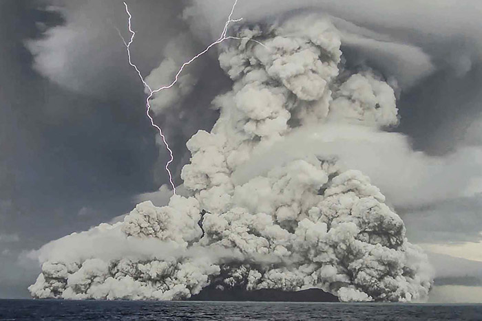
Large volcanic eruptions significantly impact climate, so it’s surprising that climate predictions for 1954–2015 appeared less accurate when they used volcanic eruptions to force model simulations.
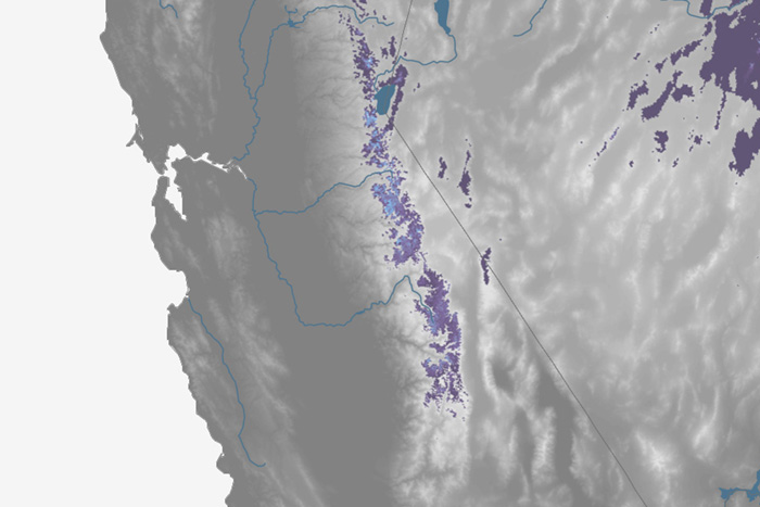
For the first time, California’s Fourth Climate Change Assessment included nine regional reports, including reports on San Diego and Sierra Nevada. The California Nevada Climate Applications Program evaluated the regional reports’ development and use.
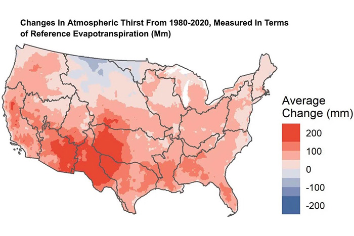
Evaporative demand is the amount of water that the atmosphere can absorb from the planet’s surface—atmospheric thirst. When it rises, so does the risk of drought and wildfire. A new study has found increases in evaporative demand across most of the contiguous United States, especially in the Rio Grande and Lower Colorado River basins.

On August 7, 2022, NOAA employees and residents of Maryland’s Montgomery County participated in the National Integrated Heat Health Information System (NIHHIS) “Urban Heat Island Mapping Campaign.”

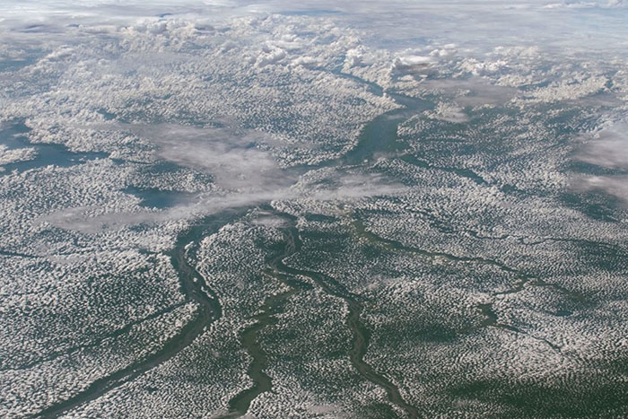
A new study examines the relationship between water and climate over the past two millennia. The results demonstrate rapid adjustments in precipitation in response to Earth’s warming and cooling.

A challenge for climate models is representing how wind direction veers at different heights as a result of friction at Earth’s surface, or “wind-turning.” A new study evaluates eight models to see how accurately they estimate wind-turning angles compared to observations.