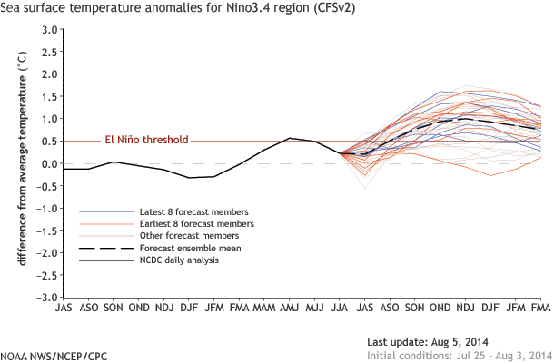
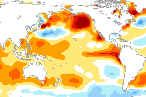
The chance of an El Nino has dropped to about 65%. What led to this change in the forecast?
The chance of an El Nino has dropped to about 65%. What led to this change in the forecast?
As sea level has changed, so has the way we measure it. Here’s a look at some of the technologies climate and marine scientists have used to track Earth’s tides and global sea level over the past two centuries.
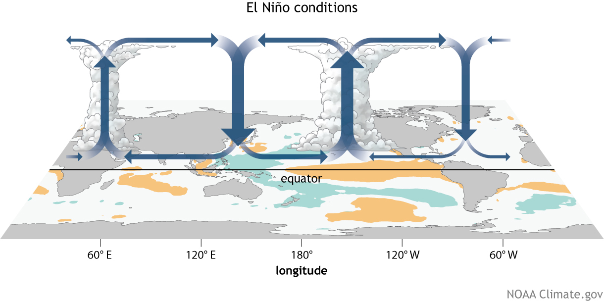
How do changes in the equatorial Pacific Ocean impact places much farther away? The answer for the tropics, at least, lies in changes to the equator-wide atmospheric circulation called the Walker Circulation.
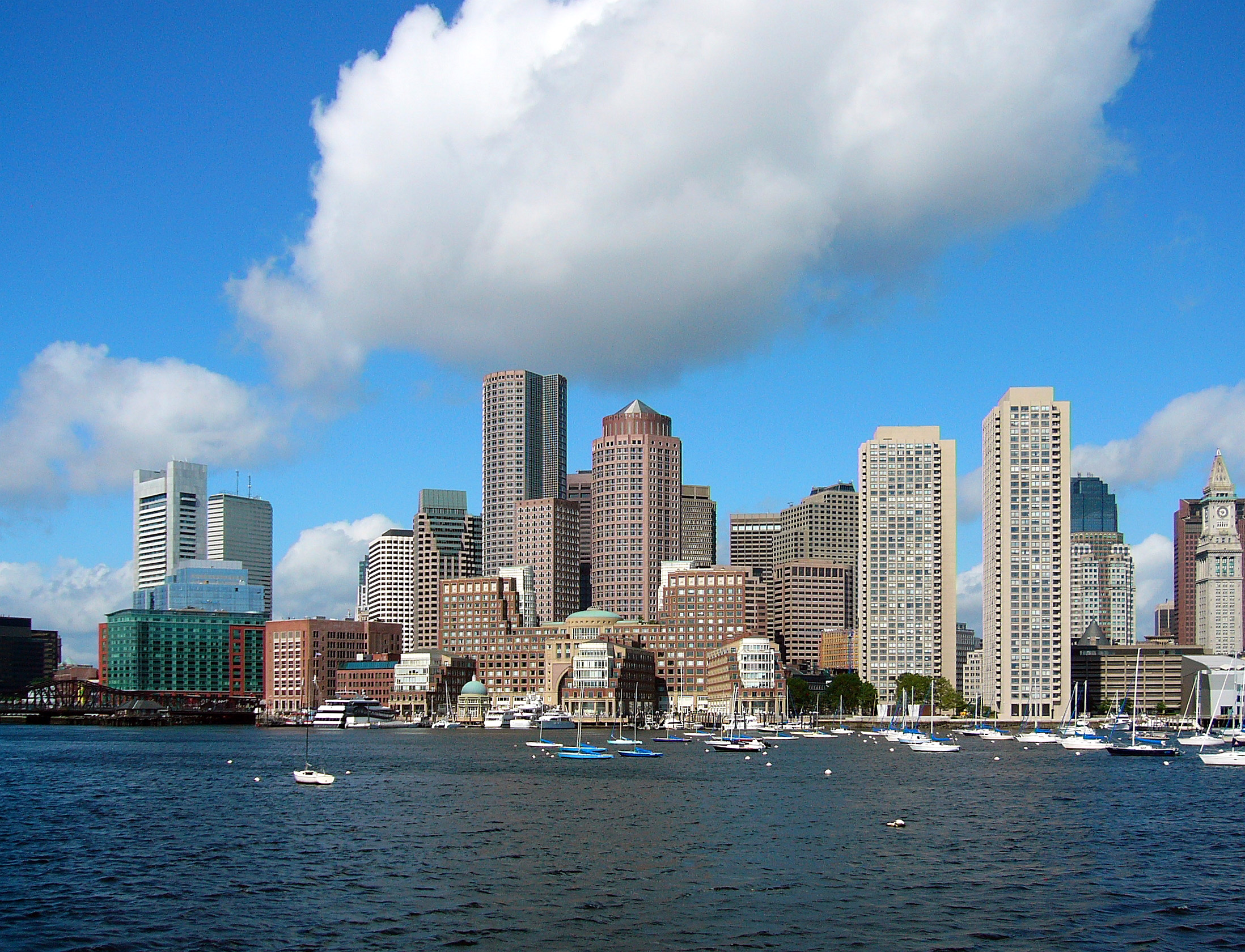
Brian Swett, Chief of Environment, Energy, and Open Space for the city of Boston, talks about maintaining the city's historic heritage while planning for the future.
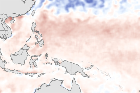
Through June, the eastern Pacific was warmer than average, but the lack of a strong gradient in sea surface temperature anomalies between the eastern and western Pacific may have kept the atmosphere from getting in sync with the developing El Niño.
Across the globe, changes in salinity over time generally match changes in precipitation: places where rainfall declines become saltier, while places where rainfall increases become fresher. Where did saltiness change over the past decade?
Why hasn't El Niño been declared yet? The answer might lie in the gradients of sea surface temperatures across the tropical Pacific Ocean.
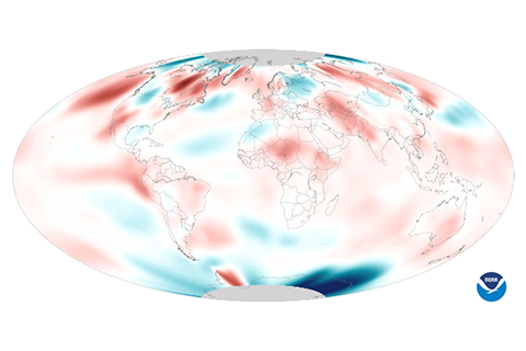
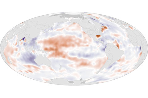
Hot on the heels of a new record set in May, average global temperature also reached a record high in June 2014.
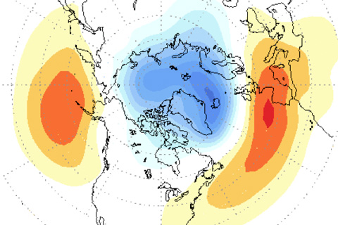
It's not all about ENSO: other important climate patterns impact the United States during the Northern Hemisphere winter season, too.
As the assessment now known as the BAMS State of the Climate report pushes into its third decade, international participation is at an all-time high. From atmospheric chemists to tropical meteorologists, more than 420 authors from institutions in 57 countries contributed to this year's report.