
In this week's ENSO blog, Tom DiLiberto gets all judgy over the 2017-2018 Winter Outlook—using science of course.
In this week's ENSO blog, Tom DiLiberto gets all judgy over the 2017-2018 Winter Outlook—using science of course.

The end of February brought an astonishing heatwave to the Arctic. In this event tracker post, we help you imagine what it would have felt like in your neck of the woods if your daily high temperature had been as overheated as the Arctic's.

The Climate Prediction Center's Mike Halpert runs down the 2018 spring forecast for flooding, temperature, precipitation, and drought.

Several nor'easters slammed parts of the east coast during the end of winter 2018, is this a sign of things to come?

You wouldn't know it to look at the snow falling in the Mid-Atlantic, but according to meteorological convention, winter ended in February. In today’s "Beyond the Data" post, we’ll pull some fun regional trivia out of the national climate summary for February/winter. Bonus: there’s at least one lesson about the climate system in each nugget.

La Niña’s imprint on the tropical Pacific is waning. What are ENSO forecasters looking at this month?

Thanks to a wavy jet stream and an extremely abnormal air mass, record-breaking warm temperatures were felt across the eastern United States.
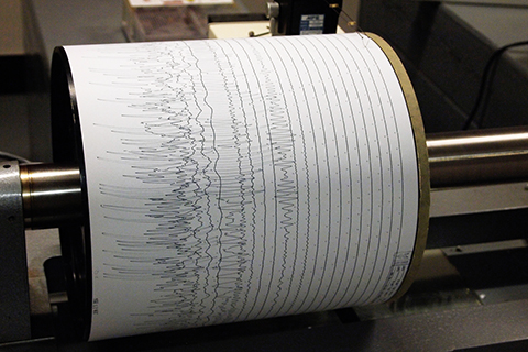
NOAA-funded researchers have developed a way to estimate hurricane strength using nothing but seismic data used to track earthquakes and volcanoes. The technique may help expand the pre-satellite record of tropical cyclone activity.
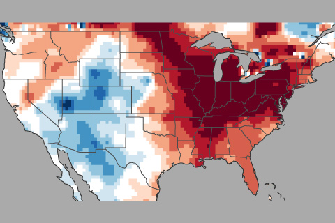
How this winter's temperature swings may have been partially driven by the Madden Julian Oscillation or MJO.
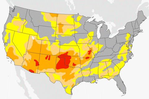
A lack of precipitation across the southern and western United States has led to growing drought this winter.