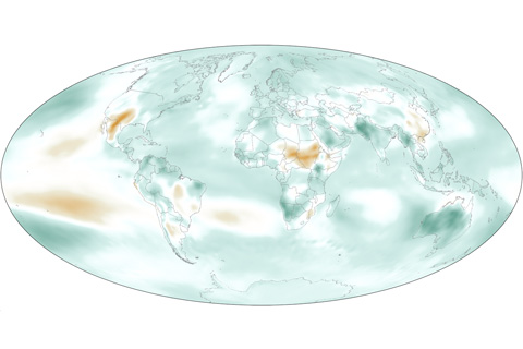
In 2011, Earth’s atmosphere was cooler and drier than it had been the previous year, but it was more humid than the long-term average.
In 2011, Earth’s atmosphere was cooler and drier than it had been the previous year, but it was more humid than the long-term average.
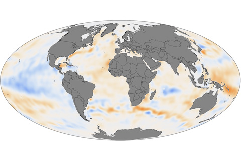
Except for some La Niña-cooled regions of the tropical Pacific and a few other cool spots, the upper ocean held more heat than average in 2011 in the Pacific, Atlantic, Indian, and Southern Oceans.
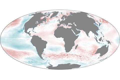
In 2011, La Niña and the Pacific Decadal Oscillation cooled parts of the Pacific Ocean, but unusually warm temperatures predominated elsewhere.
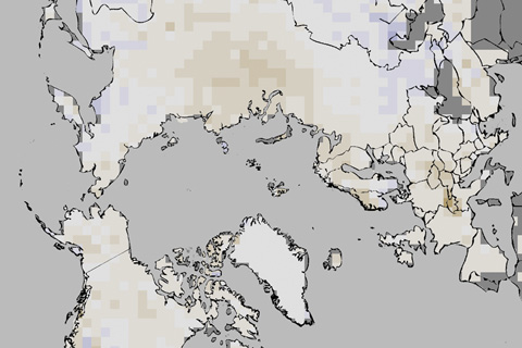
In 2011, annual snow cover extent over Northern Hemisphere continents (including the Greenland ice sheet) averaged 24.7 million square kilometers, which is 0.3 million square kilometers less than the long-term average.
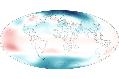
In early 2011, stratospheric temperatures rose over the tropics due to La Nina while temperatures over the poles fell below the long-term average.
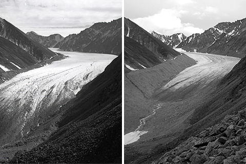
Data from 2010 indicate that mountain glaciers predominantly lost mass, and preliminary data from 2011 indicate a continuation of the same long-term trend.
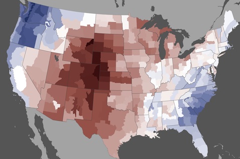
Scorching temperatures during the second half of June 2012 broke or tied over 170 all-time temperature records in cities across America.
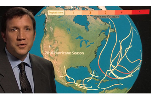
NOAA's 2012 hurricane outlook favors a slightly below average number and strength of storms in the central Pacific basin and a near-average season in both the Eastern Pacific and Atlantic basins.
In late-April 2011, an unusual, post-winter Nor’easter brought much-needed rain the Northeast United States.
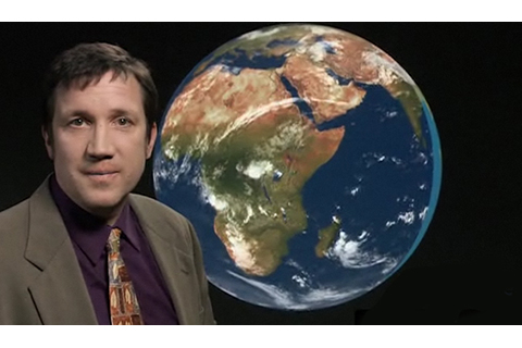
Spring storms across Europe and the Mediterranean Sea finally swept away a high pressure system that had been fostering increasingly dry conditions over the Horn of Africa in early 2011.