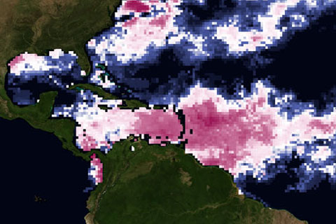
How do warm waters in the Caribbean this year compare to conditions in 2005, when high ocean temperatures triggered the worst mass coral bleaching event ever seen in the region?
How do warm waters in the Caribbean this year compare to conditions in 2005, when high ocean temperatures triggered the worst mass coral bleaching event ever seen in the region?
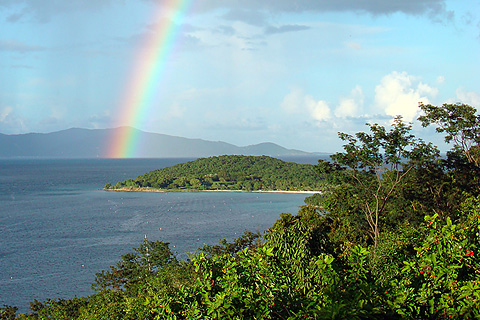
[From the archives] Facing the possibility of a massive coral bleaching event in the Caribbean Sea in late summer and early fall 2010, a USGS biologist based at U.S. Virgin Islands National Park hopes that the season won't have the same devastating outcome as a similar event in 2005.
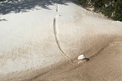
When the winds are right, dust from the deserts of the U.S. Southwest blows onto the snow-capped Rocky Mountains. How do dirty snowfields contribute to the loss of more than 250 billion gallons of water in the Colorado River?
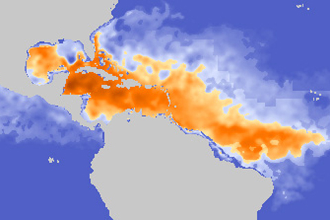
Identifying ocean areas with a deep layer of warm water—places that are storing large amounts of heat—is important for scientists trying to predict whether or not a hurricane will intensify.
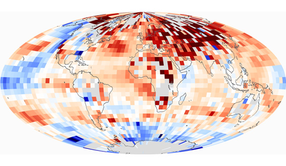
Each of the last three decades was warmer than all earlier decades in the instrumental record, and each set a new and statistically significant record, culminating in the 2000s, which was the warmest decade of all.
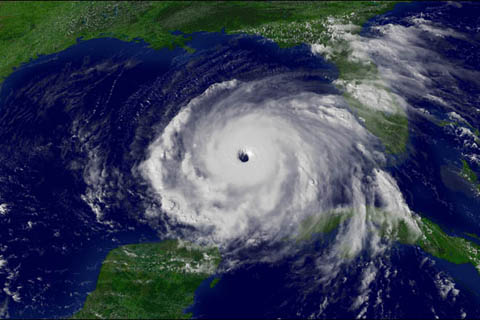
Christopher Landsea, of NOAA’s National Hurricane Center, works with tropical storm data and other hurricane experts to figure out how our warming world will affect hurricanes. Find out what current research tells us about hurricanes in the future.
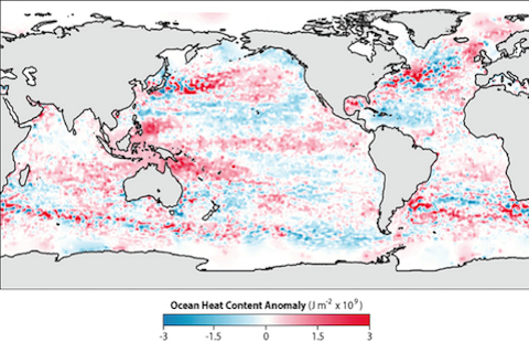
Recent studies show the world’s ocean is heating up as it absorbs most of the extra heat being added to the climate system from the build-up of heat-trapping gases in the atmosphere. This climate trend, and many others, are documented in NOAA’s newly released 2009 State of the Climate Report.
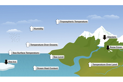
This report presents a comprehensive appraisal of Earth’s climate in 2009, and establishes the last decade as the warmest on record. Reduced extent of Arctic sea ice, glacier volume, and snow cover reflect the effects of rising global temperature.
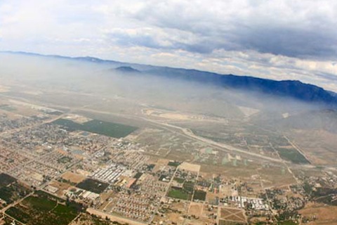
CalNex—an intense data collection campaign to characterize the complicated interactions of air quality and climate over California—used an array of instruments and platforms this spring for a close look at greenhouse gases and pollutants.
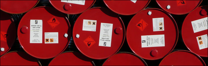
The impacts of climate change and sea level rise have the potential to contaminate facilities and natural resources in the Pacific Northwest. Now, coastal managers have a new tool to help them visualize future changes and decide how they might avoid these problems.