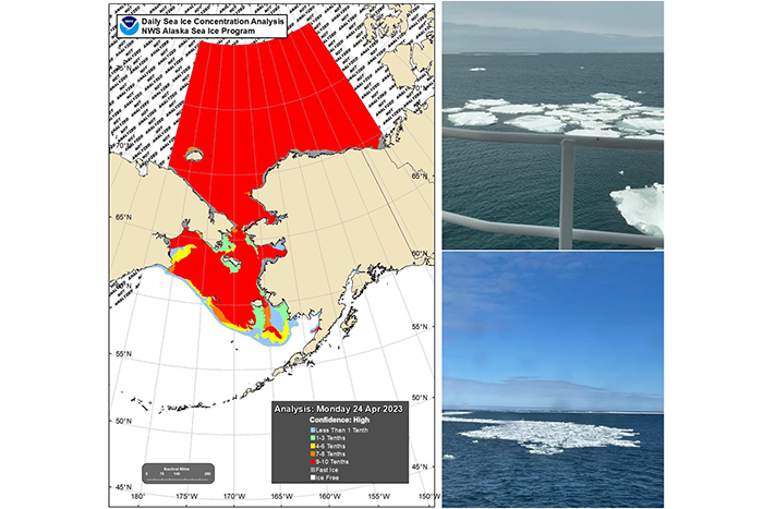
For the first time since 2012, sea ice in the Bering Sea is impacting NOAA’s annual survey. Researchers had to alter their cruise plan to reach several of the mooring and sampling sites.
For the first time since 2012, sea ice in the Bering Sea is impacting NOAA’s annual survey. Researchers had to alter their cruise plan to reach several of the mooring and sampling sites.
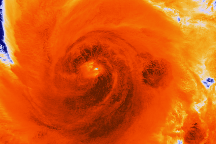
A new study in Nature Communications confirmed the widespread notion that the flood impacts of Hurricane Sandy were worse because of anthropogenic-induced sea level rise. The research team’s simulations indicated that approximately $8.1 billion of Sandy’s damages are attributable to climate-mediated anthropogenic sea level rise. Results also estimated that an additional 71,000 people were affected by the flooding that resulted from higher seas.
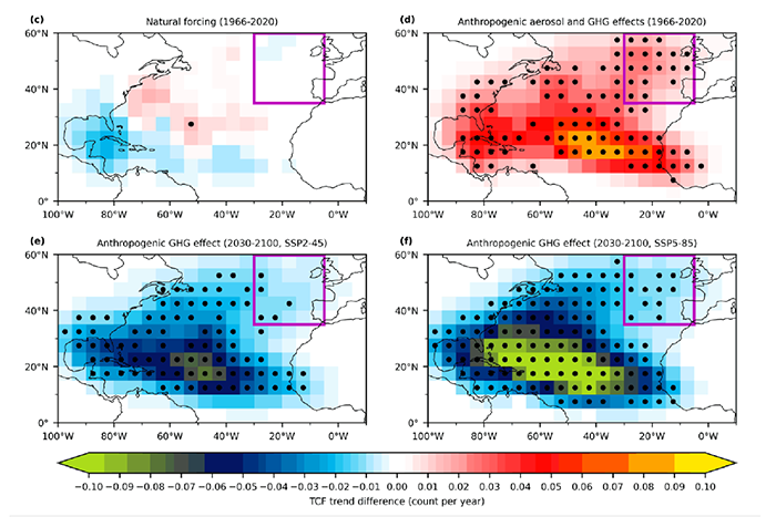
A new study finds the observed increase in tropical cyclone frequency near Western Europe from 1966 to 2020 is likely linked to the anthropogenic aerosol effect.
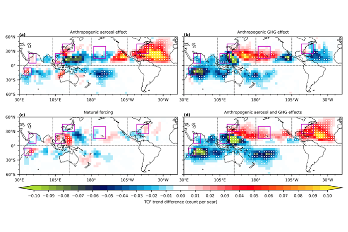
This study reveals the potentially dominant role of anthropogenic forcing on coastal cyclone changes around the US Atlantic coast, Hawaii region, Northeast Asian coast near Japan and Korea, South China Sea, western coast of the Arabian Sea, and Madagascar.
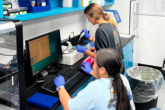
Coral Program Interns have been hard at work preparing for ‘Omics analyses that will help to better understand how the genetic structure of corals influences their resilience to environmental stressors.
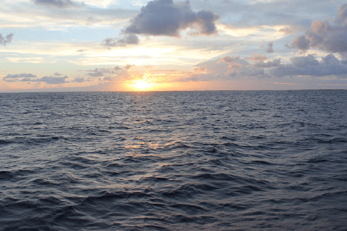
June 8, 2022 was World Ocean Day. The global ocean covers roughly 70 percent of Earth’s surface and produces at least half of the world’s oxygen. It’s home to most of Earth’s biodiversity, and the main source of protein for more than a billion people.
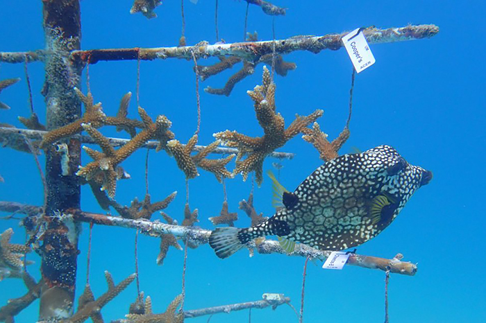
The new coral tree will be kept and maintained in a coral nursery off Key Biscayne, to provide a consistent coral supply for experiments conducted at the Experimental Reef Laboratory. A supply of naturally grown corals will greatly enhance the research capabilities of our Coral Program scientists.

Applications are now being accepted for the 2022 cohort of the Urban Heat Island (UHI) mapping campaigns. The campaign is sponsored by the National Integrated Heat Health Information System (NIHHIS) and Climate Adaptation Planning Analytics (CAPA) Strategies.

The Center for Collaborative Heat Monitoring opened applications for communities across the U.S. to monitor and evaluate factors influencing local heat risk. The effort is funded through the Inflation Reduction Act.
