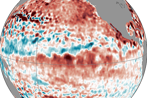
Forecasters are still calling for a 65% chance of El Nino conditions being met in the next few months. Isn't this late for the start of an ENSO event?
Forecasters are still calling for a 65% chance of El Nino conditions being met in the next few months. Isn't this late for the start of an ENSO event?
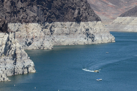
On July 11, Lake Mead reached its lowest water level since construction of the Hoover Dam in the 1930s. Many scientists are concerned that the prolonged drought could be a sign that the region will face significant water supply challenges due to climate change.
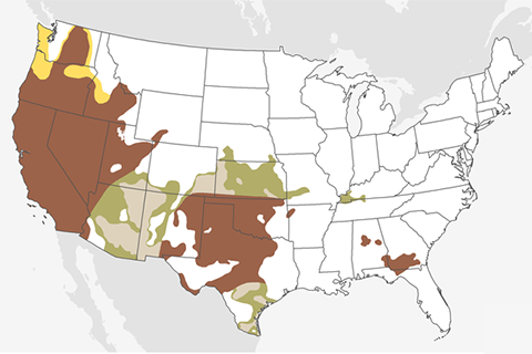
Drought in the far West and the southern portion of the Great Plains—regions that are already experiencing extreme and exceptional drought—will likely continue or worsen through September.
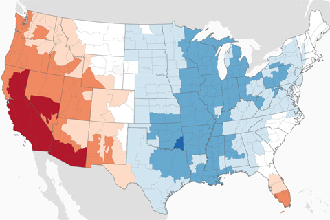
Never in the historical record have such large areas of the country experienced such radically different temperature extremes as they have so far in 2014.
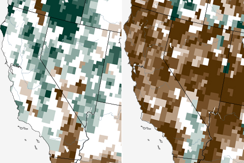
Since we last covered the California drought, conditions in the state have stayed, well, dry—very dry. Statewide, total precipitation is about equal to or below the lowest three-year period since 1895.
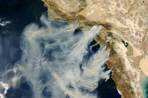
El Niño could bring increased rain to California. How might this affect the threat of wildfire?
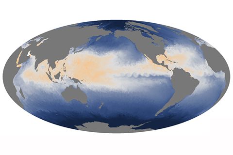
More than halfway through August, the Atlantic Ocean has seen just two named storms. Despite the availability of heat energy at the sea's surface, atmospheric conditions have not been favorable for storm development.
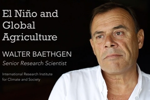
IRI's Walter Baethgen gives an overview of El Niño's potential impacts on global food production.
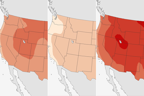
Despite uncertainties around future precipitation change, it is clear that as temperatures rise in Colorado, the state is expected to face significant challenges to managing water resources, according to a new report.
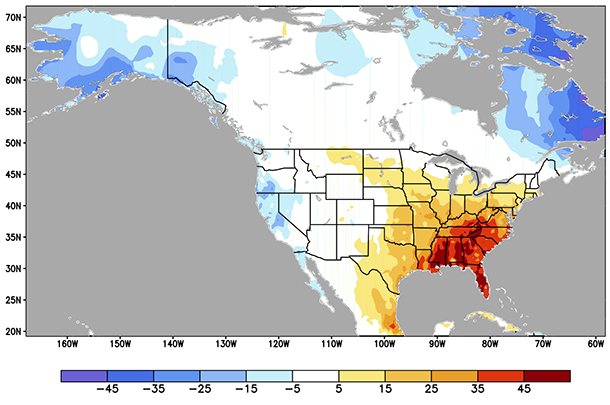
Along with ENSO, what other climate patterns might be useful for predicting temperatures and precipitation in the United States?