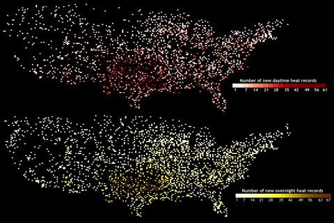
Maps of locations where heat records were broken in summer 2011 make a nearly complete picture of the United States.
Maps of locations where heat records were broken in summer 2011 make a nearly complete picture of the United States.
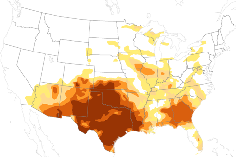
The soaking rains from Tropical Storm Lee provided some drought relief in the South in the first week of September, but exceptional drought persisted across Texas and the Southwest.
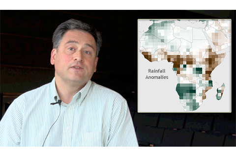
Pietro Ceccato describes the role satellites play in monitoring vegetation health, rainfall, and soil moisture in drought-stricken places in East Africa.
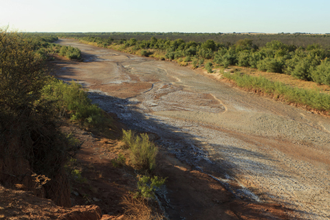
The Brazos River runs dry in Knox County, Texas, in summer 2011.
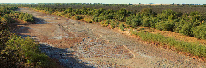
An intense drought has gripped the southern tier of the United States for several months, accompanied by destructive wildfires, low water supplies, and failed crops.
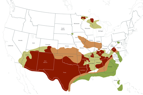
In summer 2011, the South was in the grip of one of the worst droughts on record, and the fall drought outlook issued by NOAA’s Climate Prediction Center provided little hope of relief, especially for the Southwest and Texas.
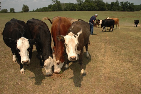
Cattle ranchers face tough decisions about feeding and watering their herds as extreme drought continues in the South in late summer 2011.
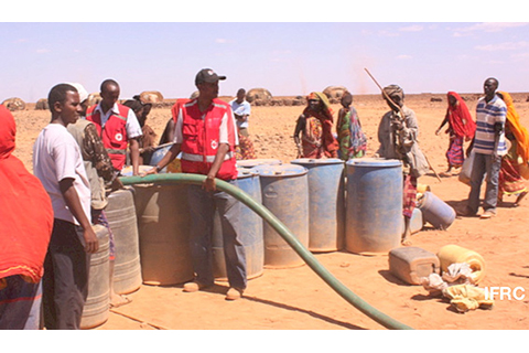
An expert on climate conditions and food security explains why some parts of East Africa are so vulnerable to climate shocks like the ongoing drought.
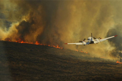
As early as November of last year, NOAA scientists were able to forecast extreme drought conditions that would likely lead to high fire risk in the South, allowing fire managers time to prepare for an active season.
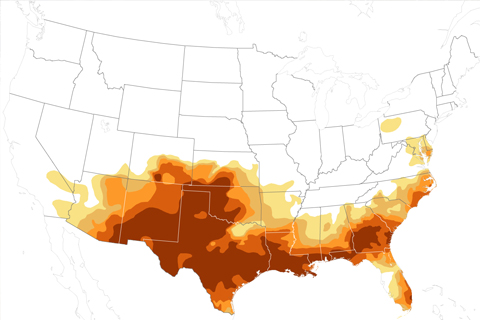
At the peak of this year’s drought, a record 12 percent of the U.S. was experiencing exceptional drought conditions.