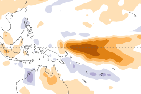
La Niña's here through winter, but chances for ENSO to transition to neutral by spring are rising.
La Niña's here through winter, but chances for ENSO to transition to neutral by spring are rising.
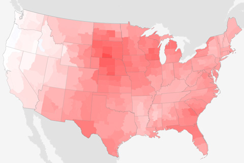
The contiguous United States was warmer than average virtually coast to coast in November 2020, and much of the country was also drier than average.
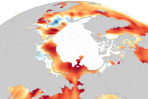
August sea surface temperatures in the Arctic are rising by as much as 1 degree Celsius (1.8 degrees Fahrenheit) per decade.
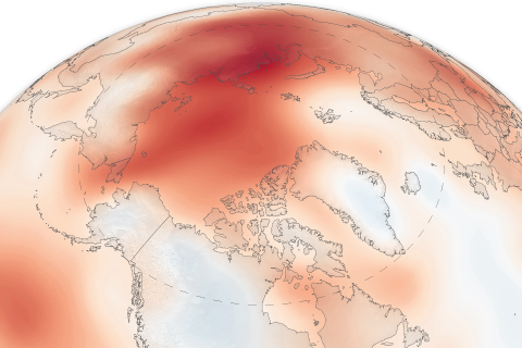
Despite a few cold spots, it was the the second-warmest year on record Arctic wide. Since 2000, Arctic temperatures have been more than twice as far above average as the planet as a whole.
The 15th installment of NOAA's Arctic Report Card NOAA's 15th Arctic Report Card catalogs the numerous ways that climate change continues to disrupt the polar region.
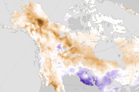
The taiga is becoming more flammable, increasing the risk for intense wildfires—some so intense they overwinter in deep ash pits and re-emerge the following spring.
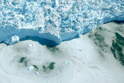
Between September 2019 and August 2020, the rate of ice loss from the Greenland Ice Sheet was much lower that the record set the previous 12-month period, but but still above the 2002–2020 average. Overall, Greenland continues to lose ice.
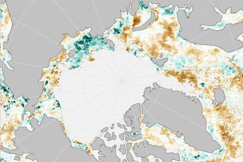
Unusually big blooms of tiny ocean plants occurred in the Arctic this past summer, linked to early summer retreat of sea ice.
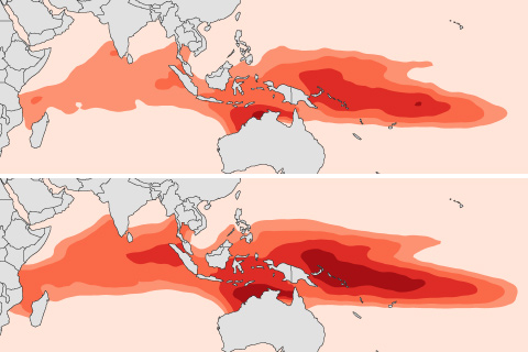
The large, warm pool of ocean water in the Indian and west Pacific Oceans has been growing warmer and expanding in size since 1900, impacting the Madden Julian Oscillation and regional rainfall.
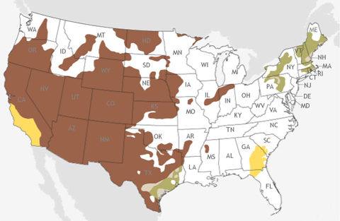
December 2020 and the start of the 2020-2021 winter looks warmer and drier than average for much of the country.