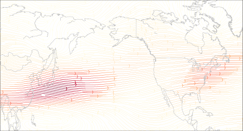
How does La Niña and the jet stream impact winter conditions in the United States?
How does La Niña and the jet stream impact winter conditions in the United States?
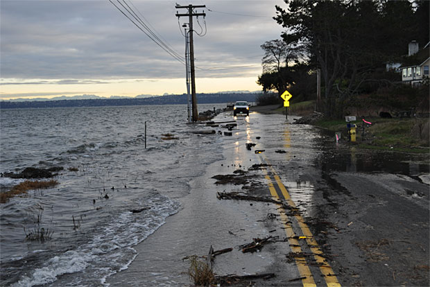
A Q & A about the science of detecting the influence of global warming on hurricanes, fires, and other extreme events.
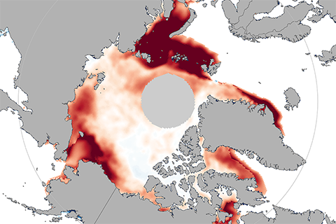
A black swan event is a situation so rare that few people would have imagined it was possible. In November 2016, researchers were caught off guard by just such an event: extremely low sea ice extents in both the Arctic and Antarctic.
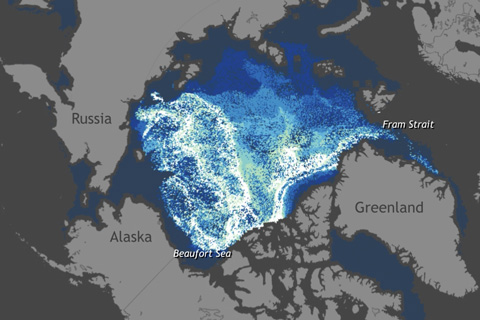
Decades ago, the majority of the Arctic's winter ice pack was made up of thick, perennial ice. Today, very old ice is extremely rare.
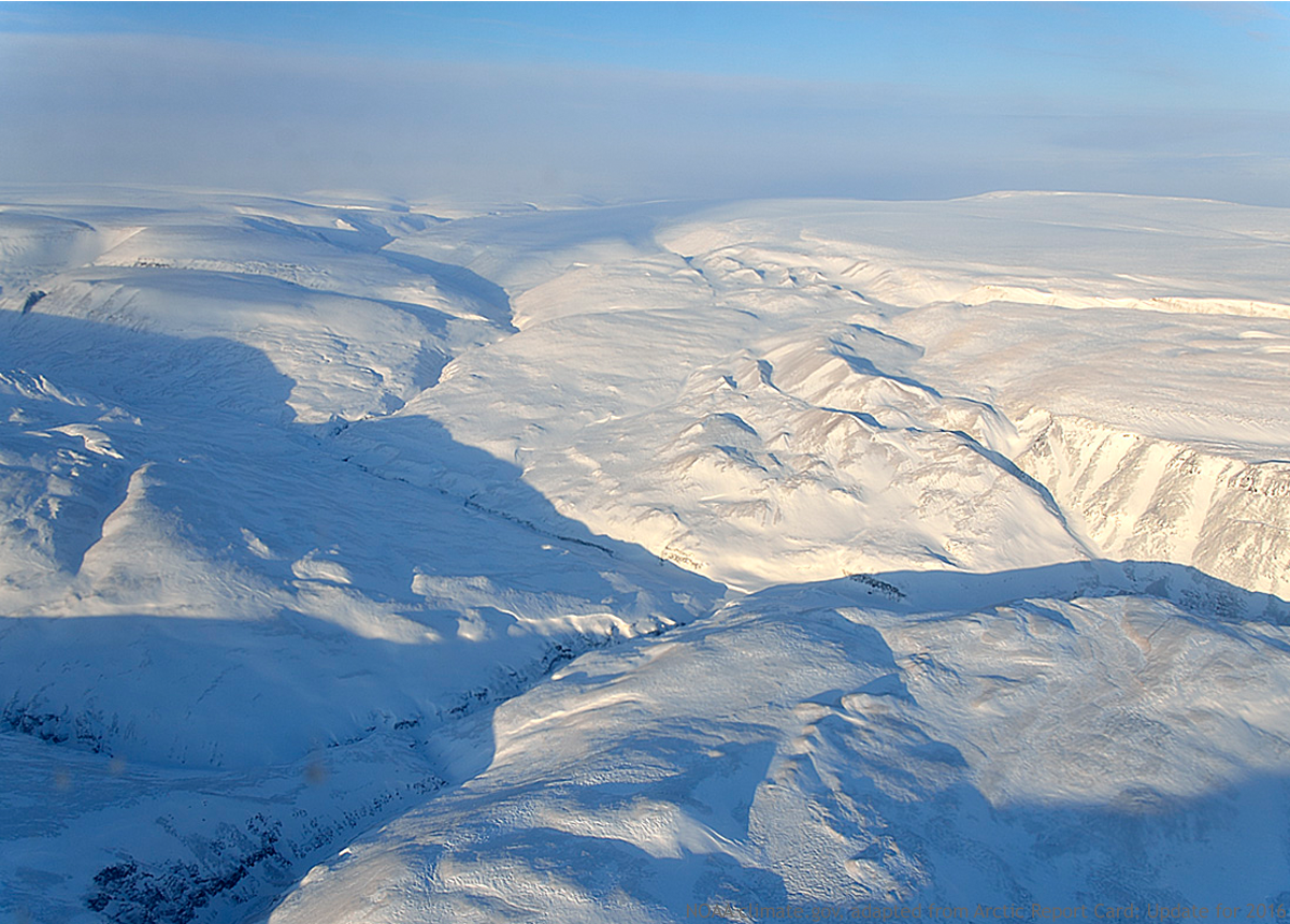
A new NOAA-sponsored report shows that unprecedented warming air temperature in 2016 triggered massive declines in sea ice and snow cover across the Arctic, and brought a record-breaking delay to fall sea ice freeze up. Learn more through our image highlights of the 2016 Arctic Report Card.
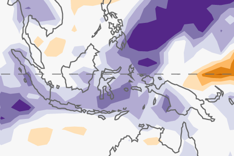
La Niña is forecast to hang on for just a few more months. Meanwhile, November was an active month in the tropics.
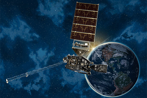
Providing more timely and accurate information over the western hemisphere, total lightning mapping, and higher resolution images streaming down from space more often, the new GOES satellite marks the first major redesign of the nation’s operational Earth-observing technology in more than 20 years.
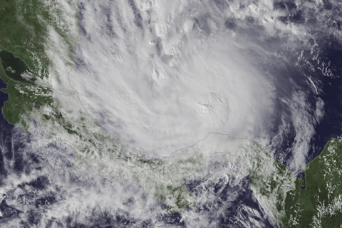
While the U.S. was observing Thanksgiving last week, Costa Rica was facing the first landfalling hurricane on record for the Central American country.

Are sea surface temperatures located north of the equator important for El Niño or La Niña development? Yes! Introducing the Pacific Meridional Mode.

Drought has broken out across the southeast and southern plains this summer and fall. What got us to this situation, and how do we deal drought, which is unlike many of our weather hazards?