Blogs
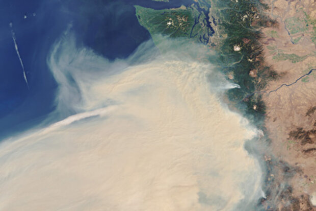
NOAA’s National Centers for Environmental Information (NCEI) has released the final 2020 update to its Billion-dollar disaster report (www.ncdc.noaa.gov/billions), officially confirming what communities across the nation experienced first-hand: 2020 was a historic year of extremes.
There were 22 separate billion-dollar weather and climate disasters across the United States, shattering the previous annual record of 16 events, which occurred in 2017 and 2011. The billion-dollar events of 2020 included a record 7 disasters linked to tropical cyclones, 13 to severe storms, 1 to drought, and 1 to wildfires. The 22 events cost the nation a combined $95 billion in damages.
Adding the 20…
Read article

Here at the ENSO Blog we’ve explored the effects of El Niño and La Niña on Australia, South America, Africa, India, and the northern Pacific and Atlantic Oceans. Our posts about North American impacts are too many to list—check out the index page to see some of those. We’ve even visited the Arctic! Today, we’ll add the fifth-largest continent, a vast, ice-covered disc at the bottom of the world, surrounded by a roaring ocean.
Keep going south until you’re going north
Antarctica is about as close to being on another planet as you can get while still on Earth. Its 5.5 million square miles have been covered in ice for 35 million years, the average summer (December–February) temperature at…
Read article
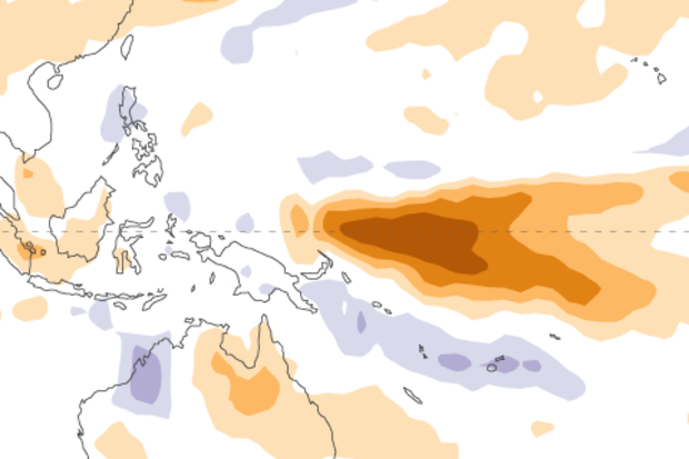
La Niña continued to gain strength in November as we approach the normal peak for these events in the Northern Hemisphere winter—usually November–January. Forecasters estimate at least a 95% chance that La Niña will last through the winter, with a potential transition to ENSO-Neutral during spring 2021 (~50% chance).
La Niña sticks out like a sore thumb when taking a gander at a map of sea surface temperature anomalies (the difference from the long-term average) over the Pacific Ocean. The Niño3.4 region of the tropical Pacific (the area we look at for determining ENSO status) was much cooler than the La Niña threshold of -0.5°C, at -1.4°C below average for November according to the ERSST…
Read article
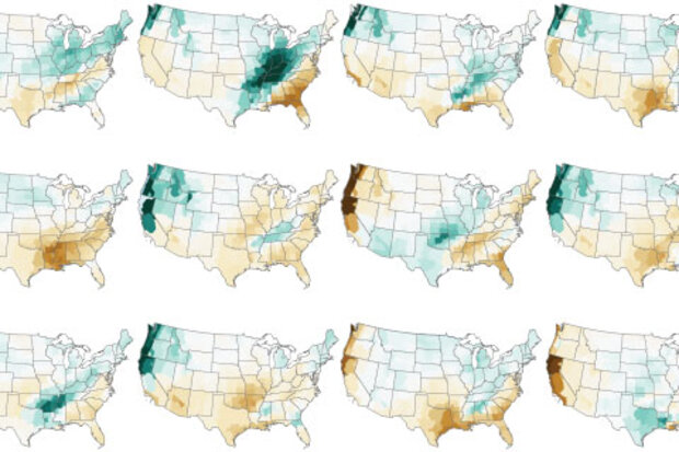
In a year when many traditions have been disrupted, I’m happy to say one remains intact—my annual blog post on NOAA’s Winter Outlook! (1) This year is a bit different from some of my recent winter outlook posts because there’s no need to wait around to see if either El Niño or La Niña will develop in time to impact winter. Instead, the tropical Pacific is already taking center stage, and it doesn’t want to give up the spotlight any time soon.
La Niña steals the show
La Niña developed during late summer and has strengthened, leaving virtually no doubt that it will persist through the winter. So, what does that mean for temperature and precipitation across the United States over the next…
Read article
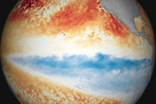
La Niña strengthened over October, with both the tropical Pacific Ocean and the atmosphere clearly reflecting La Niña conditions. Forecasters estimate at least a 95% chance La Niña will last through the winter, with a 65% chance of it hanging on through the spring.
The October sea surface temperature anomaly (departure from the long-term average) in the Niño 3.4 region of tropical Pacific was -1.3°C according to the ERSSTv5 dataset, substantially cooler than the La Niña threshold of -0.5°C. This is the eighth-strongest negative October value in the ERSSTv5 record, which dates back to 1950. I’ll talk more about feats of strength (vis-à-vis La Niña, that is) later.
Let’s count our ch…
Read article