Blogs
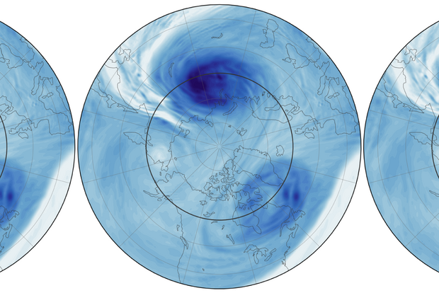
No offense intended to El Niño, but I gotta say, I was pleased when I heard a couple weeks ago that models were forecasting that the polar vortex was going to weaken and produce a sudden stratospheric warming event. After several months, a person can get juuuuust the slightest bit tired of talking nonstop about El Niño, supersized or not. I thank the atmosphere for offering this diversion, and I promise to come back next month with renewed enthusiasm for the planet’s most influential natural climate pattern. Also, I will put some highlights from NOAA’s November ENSO forecast at the bottom of the post. For now, let me quickly get you up to speed so that you can dive into this Q&…
Read article
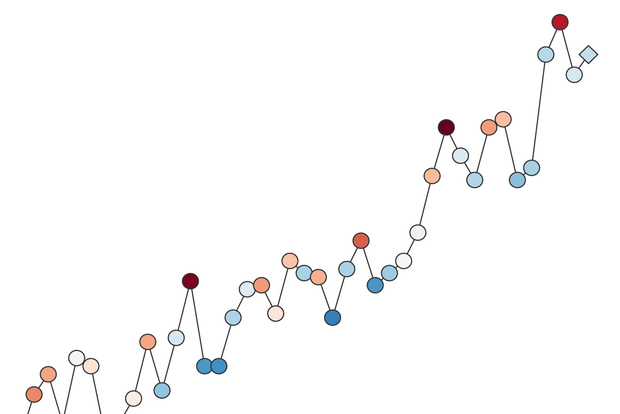
All year, there’s been a lot of speculation about if 2026, with a very strong El Niño on top of the global warming trend, will be the warmest year on record. And by warmest year, I mean the global average temperature would break the previous record, set just 2 years ago by 2024. The global average temperature is a single number that represents the surface temperature averaged over the entire planet. In El Niño years, that number is a few tenths of a degree higher, while in La Niña years, it’s a few tenths of a degree cooler, all superimposed on the steady upward trend.What is the global average surface temperature?But first, why would anyone care about the temperature of the entire planet? I…
Read article
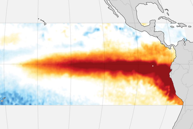
The word from NOAA on El Niño came out this morning, and, no surprise, the planet’s most powerful natural climate disrupter got 💪-er in September, pushing up the odds that this event will soon become the 💪-est on record. And while most of El Niño’s impacts on the continental U.S. happen in the winter, one of its most consistent impacts will be felt sooner in California: high-tide flooding. In this week’s post, I’ll give you a quick rundown on current conditions and highlight a web app that you can use to view the high-tide flood outlook for your location. What’s going on in the ocean? Surface water temperatures in parts of the eastern tropical Pacific averaged 5 degrees Celsius ab…
Read article
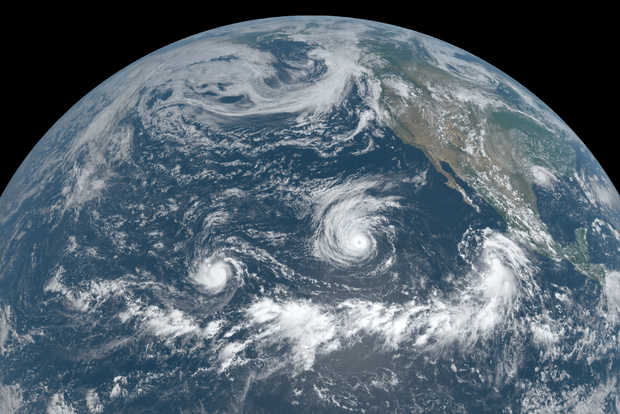
Here we are, a few days past the average peak of the Atlantic hurricane season, and we’ve heard barely a peep, with just six named storms (average is 10 by now) and zero hurricanes. Take a look at the Pacific, though, and it’s a different story—17 named storms, versus an average of about 13. Another way of looking at it is to use accumulated cyclone energy (ACE), a measurement of how strong and long-lasting storm winds have been. ACE shows an even more dramatic difference between the Pacific and the Atlantic this year. Here at the ENSO Blog, we’ve covered the relationship between ENSO (El Niño/Southern Oscillation, the whole El Niño and La Niña system) and hurricanes several times befor…
Read article
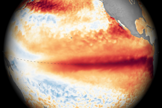
NOAA’s El Niño forecast is out today, and it will be no surprise to anyone paying even the slightest bit of attention that…El Niño is getting stronger, there’s a 100 percent chance that it will continue through at least the December–February season, and the odds of it becoming the strongest event on record by the October-December season (as ranked by the 3-month average Relative Oceanic Niño Index) are now 75 percent. In a minute, I’ll walk you through a photo dump of key El Niño graphics that explain what’s going on in the tropical Pacific Ocean and why forecasters are so confident in their outlook. But in case you’re new here, and what you’re really wondering is why everyone…
Read article