Blogs
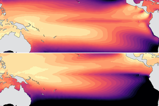
Put any meteorologist or scientist on the spot and ask them to define the climate in 10 seconds or less, they will blurt out some variation of “climate is the average of weather” (I’m guilty of this!). And, while it’s true in a narrow sense, it doesn’t provide a complete picture. We can’t expect to fully understand—much less predict—a location’s climate just by averaging its day-to-day weather. Let me explain by comparing the climates of Washington, D.C. and the Galapagos Islands.
In Washington, D.C., we are in the midst of spring. The tulips are out, the trees and grass are bright green, the pollen is smothering, and while there are still a few crisp, cool mornings, everyone knows wi…
Read article
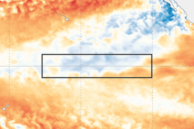
After just a few months of La Niña conditions, the tropical Pacific is now ENSO-neutral, and forecasters expect neutral to continue through the Northern Hemisphere summer. Neutral is also the most likely state through the fall (greater than 50% chance).
What is ENSO? What does neutral even mean?
ENSO stands for “El Niño/Southern Oscillation,” a pattern of changes in the temperature of the ocean surface and atmospheric circulation of the tropical Pacific region. La Niña means the surface water is cooler than average, the trade winds are stronger, and the central equatorial Pacific receives less rain. On the other hand, El Niño is represented by warmer surface water, weaker trade winds, …
Read article
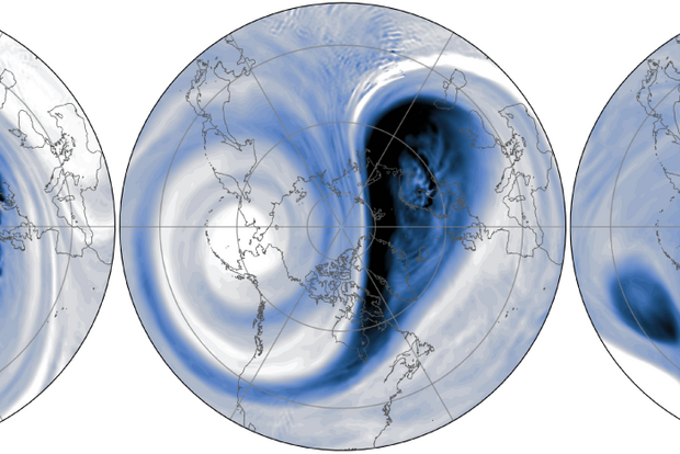
After spending much of the season with super strong wind speeds, the polar vortex bowed out two weeks ago, with the core west-to-east winds sliding off the pole. However, as it winds down for the season, the polar vortex still has a few tricks up its sleeve.
The polar vortex is down but not out…yet
On March 9 [footnote #1], the stratospheric winds at 60°N transitioned from westerly (from the west) to easterly (from the east), indicating a major disruption to the polar vortex. Now that doesn’t mean the polar vortex has completely disappeared just yet. As the animation shows, the vortex moved off the pole, meandering around over Northern Europe.
The latest forecasts sugg…
Read article
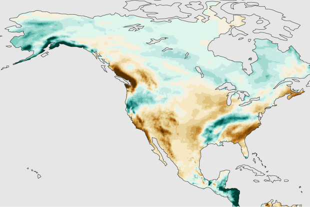
While many of us in the U.S. are reveling in the excitement of college basketball tournaments and trying to win our March Madness pools, it’s also a good time to look back at this past winter’s (December 2024– February 2025) precipitation pattern over North America. Were the seasonal forecast models a winner or a bust this winter? Was La Niña a star or a benchwarmer? Let’s go to the videotape!
Pre-Season polling
Early last December, I wrote about the predicted winter North American precipitation pattern from a group of state-of-the-art computer forecast models, the North American Multi-Model Ensemble (NMME). At that time, I argued that the forecasted precipitation pattern was…
Read article
La Niña conditions persisted through February, but forecasters expect ENSO-neutral conditions to develop in the next month and persist through the Northern Hemisphere summer.
ENSO
La Niña is the cool phase of the El Niño/Southern Oscillation, or ENSO, a pattern of changes in the tropical Pacific Ocean and the atmospheric circulation over the tropical Pacific that persists for many months. La Niña’s signature is cooler-than-average surface water in the east-central tropical Pacific, stronger-than-average trade winds, more rain and clouds over Indonesia, and drier conditions over the central Pacific. El Niño is the opposite, with warmer-than-average surface water and weaker atmospheric c…
Read article