Blogs
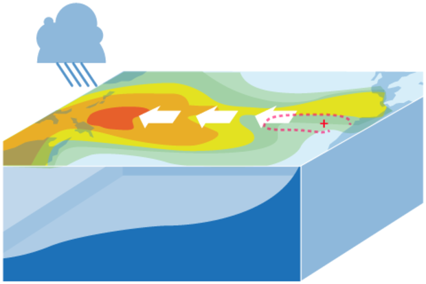
This is a guest post by Eric Guilyardi, who is a professor in the Department of Meteorology at the University of Reading (NCAS Climate) in the UK and is affiliated with the Institut Pierre Simon Laplace (IPSL) in Paris, France. He has led various efforts to diagnose ENSO in state-of-the-art climate models, with a focus on how ENSO responds in a changing climate.
On a global scale, the El Niño-Southern Oscillation (ENSO) is the dominant mode of seasonal and year-to-year climate variability. Originating in the tropical Pacific, it affects many regions of the globe via atmospheric or oceanic teleconnections. Hence, we climate scientists are frequently working to understand ENSO itself …
Read article
hr {
background-color: #cccccc;
width: 75%;
color: #cccccc;
}
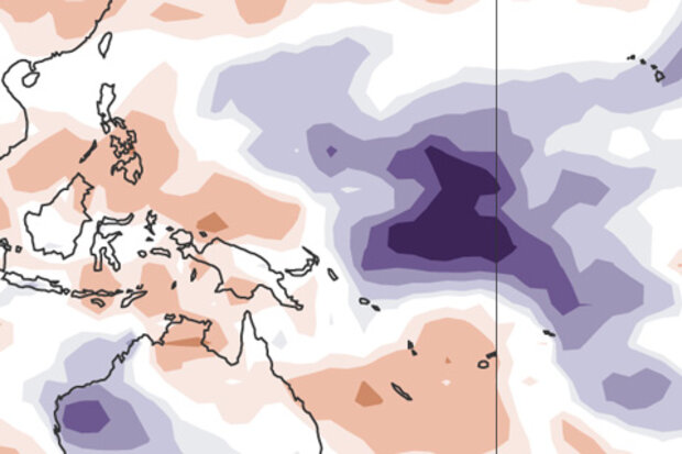
Last month, we saw the first signs of an atmospheric response to the warmer-than-average sea surface temperatures that had been in place in the tropical Pacific for several months, leading us to declare the presence of El Niño conditions. In March, those conditions strengthened a bit. So what are the forecasters thinking this month?
We think the odds are roughly 70% that El Nino conditions will persistent though summer and above 60% that they will last through fall.
Where we are
First, let’s catch up on the details of that atmospheric response. One of the signs that the atmosphere is responding to El…
Read article
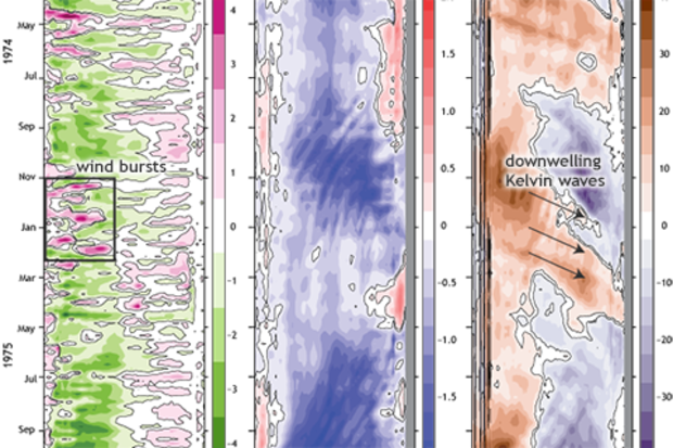
This is a guest post by Mike McPhaden, who is a Senior Scientist at NOAA’s Pacific Marine Environmental Laboratory in Seattle, Washington, where he’s led development of ocean observing systems for climate, most notably the Tropical Atmosphere Ocean (TAO) array of moored buoys in the Pacific used for ENSO research and forecasting.
There has been a lot of excitement this past year about the development of El Niño-like conditions in the tropical Pacific. From the available observations and current seasonal forecast models, NOAA’s Climate Prediction Center predicted beginning in March 2014 that it was on its way. After many fits and starts that kept us guessing longer than we expected, …
Read article
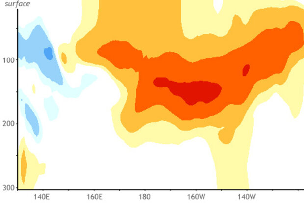
Here we are—in March 2015—and we’ve got...
above-average temperatures in the subsurface equatorial Pacific.
westerly wind anomalies near the surface across the western tropical Pacific Ocean.
El Niño favored through the Northern Hemisphere Summer with a 50-60% chance (see March 5th ENSO update and blog post).
Unbelievably, it was exactly last year at this time (March 2014) when we were watching the progress of a strong downwelling Kelvin wave crossing the equatorial Pacific (#1), in part driven by westerly wind anomalies (#2), and some folks were getting excited about a potentially strong El Niño by the end of 2014 (#3). It’s similar enough to have us rubbi…
Read article
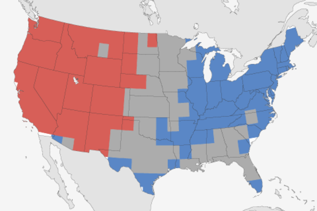
Last November, I wrote a post discussing the Climate Prediction Center’s (CPC) temperature and precipitation outlooks for winter (December 2014 – February 2015). Since we’re now into March, it seems appropriate for me to look back and see how they did. In that post, I discussed the probabilistic nature of the outlook, and what the favored categories (above-, near-, and below-average) for winter temperature and precipitation were judged to be.
As a reminder, and if you haven’t memorized that post, the outlooks favored above-average temperatures in Alaska, much of the West, and also in northern New England, and below-average temperatures in the south-central and southeastern par…
Read article