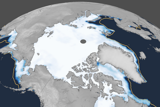
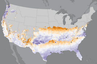
It’s March Madness, ENSO style! Our blogger discusses why the North American precipitation pattern this past winter looked more like the response to a moderate-strength La Niña than to a weak event.
Natural Climate Patterns
La Niña conditions are waning, and a transition to ENSO-neutral is favored in the next month.
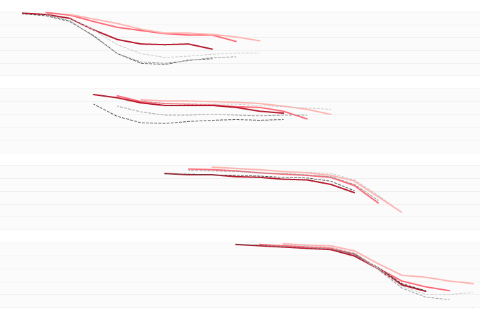
A new paper looked at 20 years work of real-time ENSO Model forecasts and found some interesting patterns. Did you know models found it pretty freaking hard to predict the onset of La Nina events?
Weak La Niña conditions continued in January, but a transition to ENSO-neutral in the near future is likely.
Why no one should expect a perfect match between what happens during a La Niña winter and the expected La Niña pattern. But knowing whether it may be a El Niño or La Niña winter is still useful!
After a long wait, La Niña conditions developed in December. What makes this La Niña unusual?
Models and other forecasting tools favor a warm West/cool East temperature split in January along with a wet Northwest/dry Southwest precipitation split.
The expected La Niña has been slow to develop. There's still a 57% chance it will emerge soon, and the atmosphere is already looking a bit like La Niña. Our blogger discusses some of the climate conditions at work in the tropical Pacific.