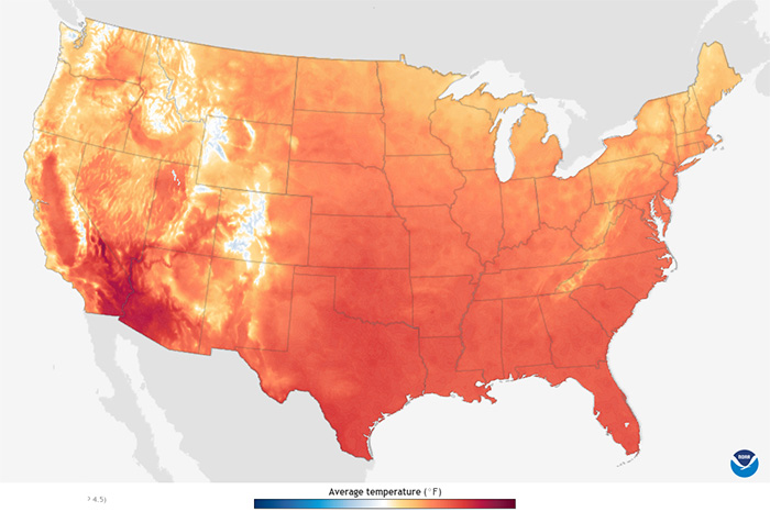
Colors show projected daily average temperature for each month from the 2020s through the 2090s, based on a stabilized-emissions future.In this case, the stabilized-emissions future represents a…
Colors show projected daily average temperature for each month from the 2020s through the 2090s, based on a stabilized-emissions future.In this case, the stabilized-emissions future represents a…
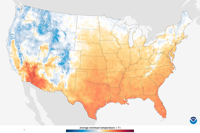
Colors show projected daily average minimum temperature for each month from the 2020s through the 2090s, based on a stabilized-emissions future.In this case, the stabilized-emissions future…
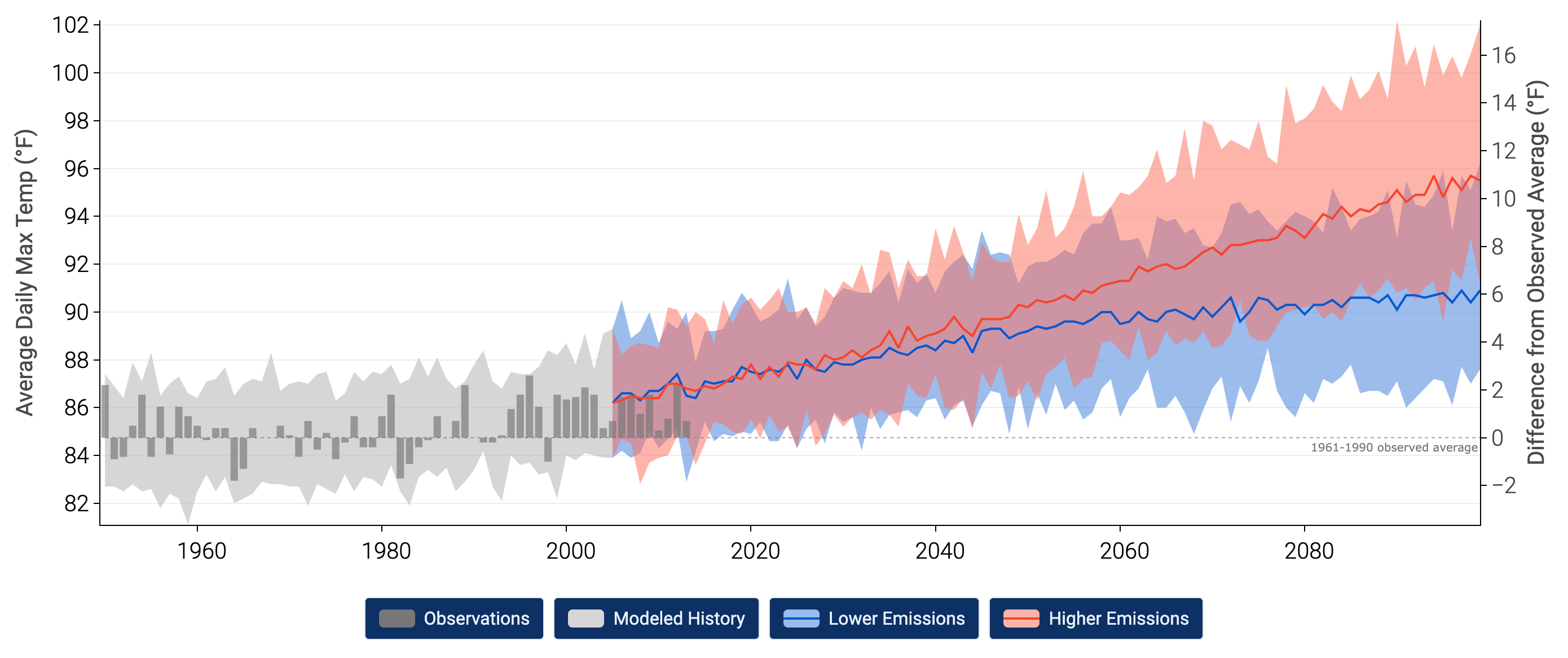
This section presents information on how climate scientists develop scientific predictions about future climate.
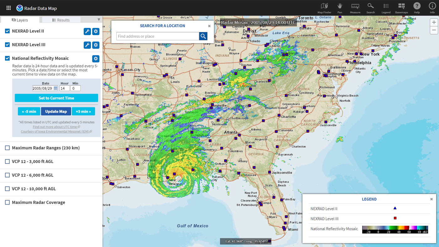
Radar technology enables weather observers to track rain and snow storms in real time.
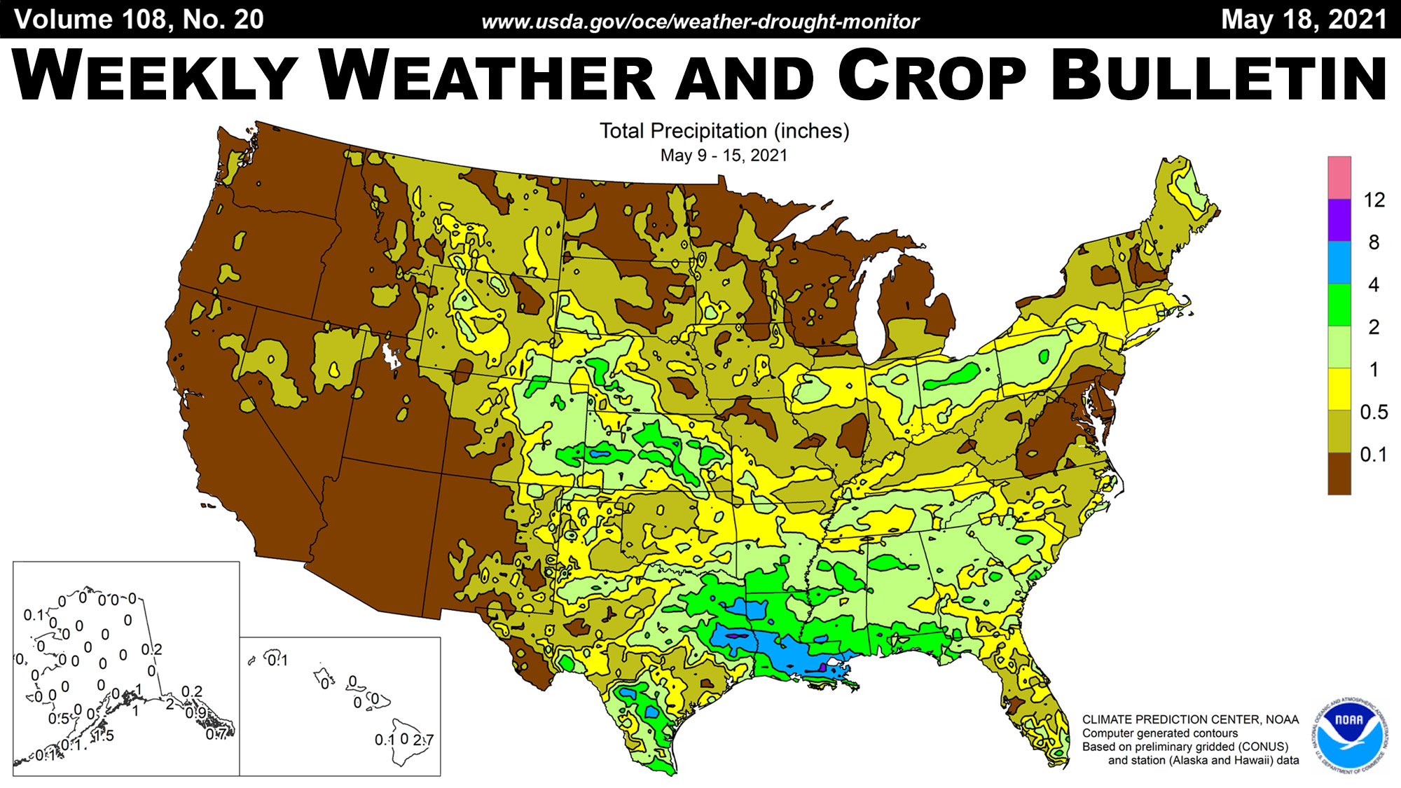
The Weekly Weather and Crop Bulletin (WWCB) provides a vital source of information on weather, climate, and agricultural developments worldwide, along with maps and charts appropriate for the season.
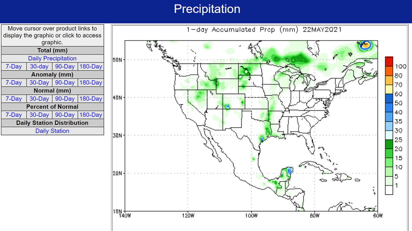
Large assortment of maps and charts that put precipitation and temperatures into context by showing how recent conditions compare to long-term climate averages.
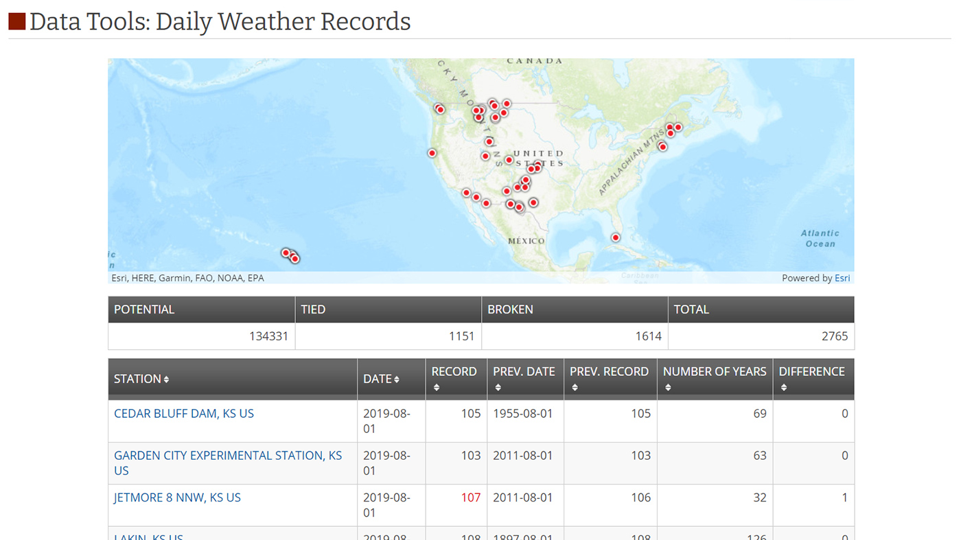
Explore the number of weather records broken over recent periods. Compare counts of temperature and precipitation records in the United States or across the globe.
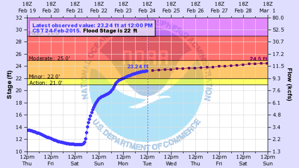
A color-coded map indicating current river levels or flood stages for more than 6,500 streamgages in U.S. states and territories.
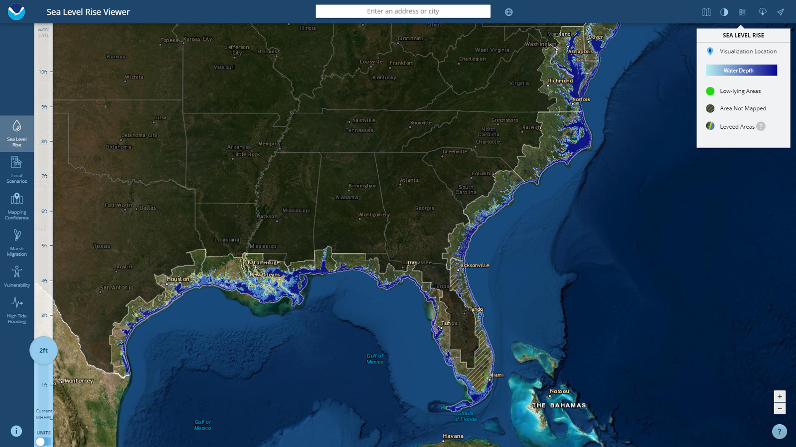
NOAA's Sea Level Rise map viewer gives users a way to visualize community-level impacts from coastal flooding or sea level rise (up to 10 feet above average high tides).
Data searches can be frustrating... These strategies may help you find what you're after. As with any searching strategy, it's good practice to begin with some simple questions to narrow your search.