ENSO Blog
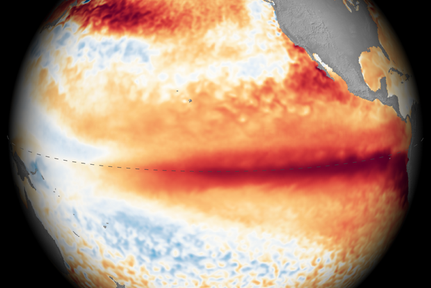
NOAA’s El Niño forecast is out today, and it will be no surprise to anyone paying even the slightest bit of attention that…El Niño is getting stronger, there’s a 100 percent chance that it will continue through at least the December–February season, and the odds of it becoming the strongest event on record by the October-December season (as ranked by the 3-month average Relative Oceanic Niño Index) are now 75 percent. In a minute, I’ll walk you through a photo dump of key El Niño graphics that explain what’s going on in the tropical Pacific Ocean and why forecasters are so confident in their outlook. But in case you’re new here, and what you’re really wondering is why everyone…
Read article
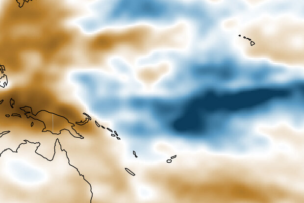
If you’re reading this, you have surely seen recent predictions that El Niño could break all kinds of records this year, ending up stronger—some say much stronger—than any previous El Niño on record. While a very strong El Niño is essentially a certainty—NOAA recently predicted a 69% chance of an event exceeding any other in our 75-year record—there’s nuance to the story.A stronger El Niño means we are more likely to see expected El Niño impacts, providing a picture of what upcoming seasons may bring, so it’s important to be able to accurately measure El Niño strength. With climate change involved, however, we need a way to isolate the strength of El Niño itself.Measure for measureEl Niño’s …
Read article
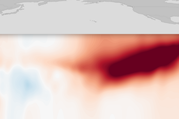
The second Thursday of each month is ENSO-forecast day at NOAA, the day that the agency weighs in on whether ENSO—short for El Niño-Southern Oscillation—is currently warm (El Niño), cool (La Niña), or neutral, and how likely it is to stay that way in coming months. It’s a big day because ENSO is a big deal, the single most influential natural climate phenomenon on Earth. By disrupting normal ocean temperature and rainfall in the tropical Pacific for months on end, El Niño and La Niña interrupt the general flow of the atmosphere around the planet, setting the stage for drought in some places and deluge in others. As expected, NOAA released its latest update on El Niño earlier this mornin…
Read article
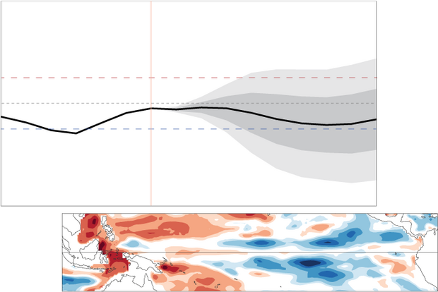
The Pacific Ocean has hit pause and settled into ENSO-neutral conditions, which are expected to continue through the Northern Hemisphere summer. This makes seasonal forecasting for upcoming global rain, temperature, and other patterns a bit trickier.
The odds of La Niña increase through the fall but remain lower than the odds of neutral. By the November–January period, there’s a 48% chance of neutral and a 41% chance of La Niña, with El Niño a distant third. Grab your towel, today we’re touring the galaxy of ENSO-neutral and what it means for seasonal prediction.
The story so far: what ENSO is, and why it matters
El Niño and La Niña, known collectively as the El Niño/Southern Oscill…
Read article
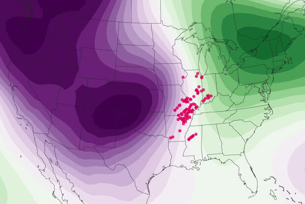
This is a guest post by Prof. Kelsey Malloy, with the Department of Geography and Spatial Sciences at the University of Delaware. She specializes in diagnosing the influence of climate on severe convective storm risk. She is also an accomplished blogger at Seasoned Chaos, which focuses on subseasonal-to-seasonal forecasting.
*****
On your mark, get set, go! The 2025 U.S. severe weather season is off to a formidable start. Preliminary storm report data from Storm Prediction Center (SPC) suggest a well above-average February through April, especially for tornado activity, which has tragically resulted in 35 deaths [footnote 1]. What goes into such an active tornado season? As the blog ha…
Read article