ENSO Blog
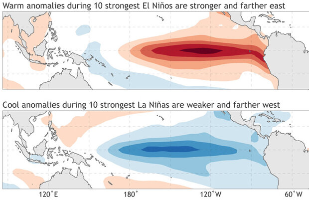
As the 2020–21 La Niña has come to an end, leaving us with neutral conditions in the tropical Pacific, we now wonder if we have seen the last of La Niña for a while or if we will see another dip into La Niña conditions by next fall. In the world of the El Niño-Southern Oscillation (ENSO), double-dipping is not a party foul—it’s actually quite common for La Niña to occur in consecutive winters (not El Niño, though). If you’re wondering why, then this is the blog post for you!
Mirror, mirror on the wall
To understand why La Niña commonly double dips, we first need some basic understanding of ENSO asymmetry. Often, we think of El Niño and La Niña as mirror opposites—for example, that the …
Read article
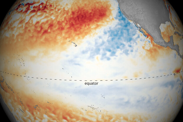
ENSO-neutral conditions are present in the tropical Pacific, and NOAA forecasters think they’re likely to continue through the summer. Neutral is slightly favored through the fall, although it’s a close call between continued neutral and re-developing La Niña for the late fall and winter.
Neutral soup
I often start my top-of-the-month blog posts with a detailed review of the current conditions in the tropical Pacific, but I think I’ll just breeze through that and get to the forecast today. Currently, sea surface temperatures in the ENSO monitoring regions are still slightly cooler than average, but within the neutral range of +/- 0.5°C from the long-term (1991–2020) average.
Neu…
Read article
Dr. John Allen is an Assistant Professor of Meteorology in the Department of Earth and Atmospheric Sciences, Central Michigan University. Dr. Allen's research focuses characterizing severe convective storms globally, and how these events that produce hailstorms and tornadoes are linked to climate change and variability from subseasonal to seasonal scales. In 2015 he and colleagues at Columbia developed an experimental seasonal tornado outlook, and he was a founding member of the experimental subseasonal Extended Range Tornado Activity Forecast group.
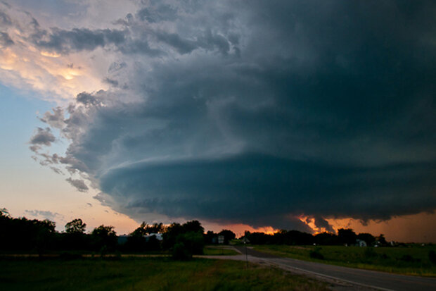
La Niña’s influence is linked to a higher frequency of tornadoes in the spring. However, although La Niña conditions were present …
Read article
I want to kick off this blog post by introducing you to a force of nature in the climate community, Geert Jan van Oldenborgh. He just got recognized by the European Meteorological Society with a Technology Achievement Award for building the KNMI Climate Explorer. This website, which you can access at https://climexp.knmi.nl/, is a great way to plot and play with climate data. Give it a whirl!
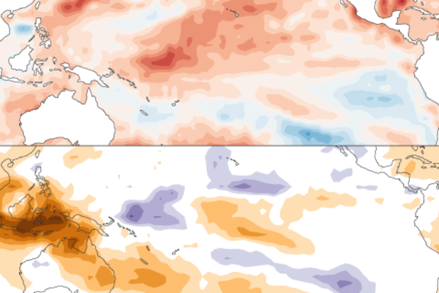
Geert Jan isn’t just a talented web programmer and data manager—he is also a prolific climate scientist who has been working with me and several of our colleagues on a matter of increasing importance. Our collaborators include the Bureau of Meteorology in Aust…
Read article
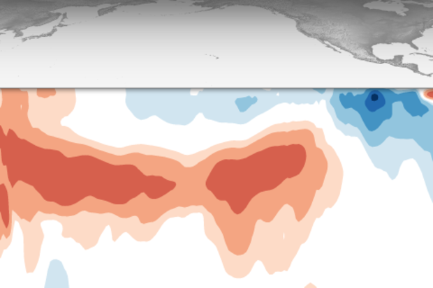
La Niña is hanging on in the tropical Pacific, but it’s likely a transition to neutral will occur in the next month or so, and the chance of neutral goes up to 80% in May–July. Grab your goggles and your running shoes! We’re going to get some exercise today.
Swim
The monthly average sea surface temperature in the Niño 3.4 monitoring region increased from February to March, with March coming in about 0.8°C below the long-term average according to the ERSSTv5 dataset. (Long-term = 1991–2020.)
The January–March average was 0.9° cooler than average, marking our seventh consecutive season of La Niña conditions. We use “season” to describe any three-month-average period, not just wint…
Read article