ENSO Blog
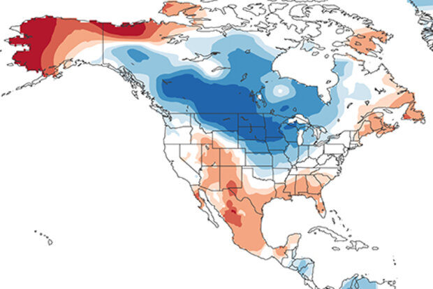
First off, happy blogiversary to our readers and the ENSO blog team! Hard to believe my first post was four years ago this month. Who would have thought we would still have so much to say about ENSO and the world of climate forecasting? If you’re new to us, or want to revisit old favorites, be sure to check out the index page our amazing editor put together.
Sayonara, sweetheart
Onward! Our next order of business is to bid adieu to La Niña, as the sea surface temperature in the tropical Pacific returned to neutral conditions in April—that is, within 0.5°C of the long-term average.
The temperature of the water below the surface remained above-average, as the large area …
Read article
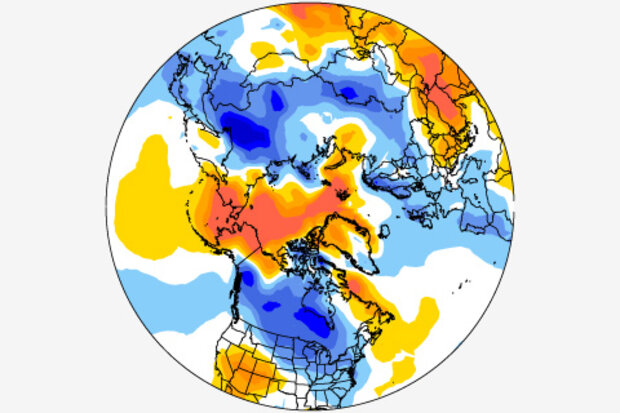
This is a guest post by Dr. Amy Butler (@DrAHButler) who is a research scientist at the University of Colorado Cooperative Institute for Research in Environmental Sciences (CIRES) and sits within the NOAA Chemical Sciences Division (CSD). She is a returning guest author, and her research focuses on large-scale climate patterns and phenomena, such as the Arctic and Antarctic Oscillations and sudden stratospheric warmings.
Spring hasn’t come quickly enough for many of us who feel battered by the wild winter weather over the past couple of months. Multiple nor’easters brought feet of snow to the northeastern U.S., while severe cold and winter storms punished portions of…
Read article
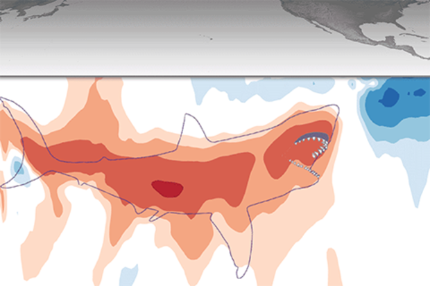
La Niña conditions prevailed through March, but it’s very likely the great La Niña of 2017–18 is a sinking ship. ENSO-neutral conditions are expected to arrive within the next couple of months, meaning sea surface temperatures in the central Pacific will return to near the long-term average.
Amity Island
The Niño3.4 Index, our very favorite measurement of the central Pacific sea surface temperature, was about 0.5°C cooler than average over the past week, according to the weekly OISST data set. This anomaly (the departure from the long-term average) is just on the border of neutral conditions: when the Niño3.4 Index is in between -0.5°C and 0.5°C.
Of course, when we’re talking EN…
Read article
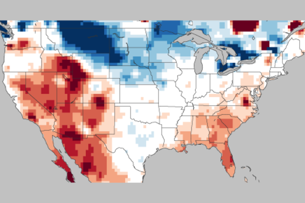
I know it may seem a bit ridiculous to say that winter is over when the eastern half of the United States keeps getting repeatedly smacked by nor’easters. But from a meteorological perspective, winter lasts from December 1 – February 28. And it is over. Which can mean only one thing! It is time for the ENSO Blog’s annual post looking back at how NOAA’s Climate Prediction Center’s Winter Outlook did.
So for residents of the Northeast, I ask you to postpone shoveling out your car for 10 minutes, because it’s time to talk forecast verification. (I have an obsession, see here, here, here and here).
Let’s start with the temperatures
The Winter Outlook, which came out in November…
Read article
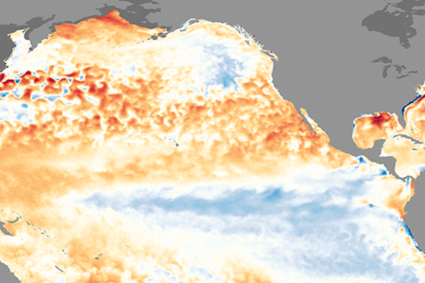
The great La Niña of 2017–18 is dwindling, and forecasters expect the return of neutral conditions by the March–May season, estimated at about 55% likelihood. Neutral conditions are favored to continue through the summer. It’s too early to get a picture of next fall and winter, due to the spring predictability barrier and the absence of strong signs one way or the other. There are a few interesting features we’ll watch closely over the next few months… but first, this update on current conditions!
Stick your toe in
La Niña may be weakening, but she’s still making an impression on the average sea surface temperature in the equatorial Pacific. The Niño3.4 index, which measures the depart…
Read article