ENSO Blog
Editor’s Note: Welcome to Dr. Nat Johnson, our newest ENSO blogger! Nat is an associate research scholar who is affiliated with Princeton University and NOAA Geophysical Fluid Dynamics Laboratory. He has an extensive research record studying large-scale climate dynamics, with a special focus on predictability of subseasonal-to-seasonal timescales (hello ENSO!). We’re excited to have him on our team.
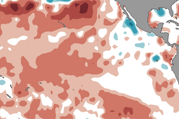
The latest ENSO forecast by CPC/IRI is holding steady since last month and favoring ENSO-neutral conditions (50-55% chance) into the winter of 2017-18. Although not favored, El Niño development has an elevated chance of occurring (~35-45%) relative to the lo…
Read article
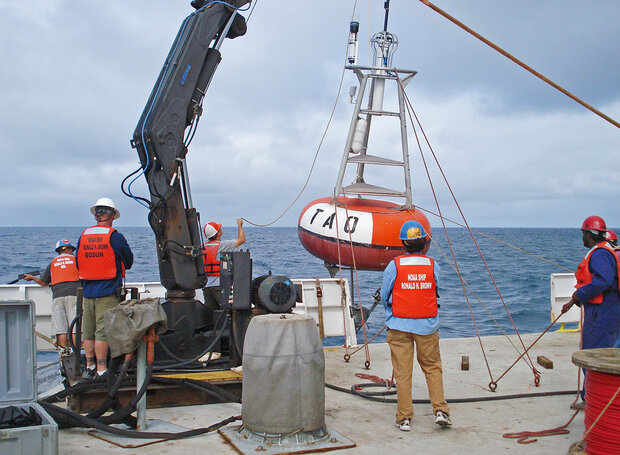
Oh, my sweet TAO moored buoy array, bobbing ever-so humbly in that great expanse of water scholars call the Pacific Ocean. How I long…nay. yearn, for your daily observations of oceanographic and atmospheric variables. The simple act of looking upon your temperature readings makes my heart flutter with joy. While my life’s journey may never cross upon your moored “shores,” be content with the knowledge of the immense impact your existence has had upon the thoughts of this one modest man. Oh may generations to come delight in your continued work so that they too may feel the joy of science and physics that you bestow upon me.
Forever thy devoted servant,
Thomas
Ok, you…
Read article
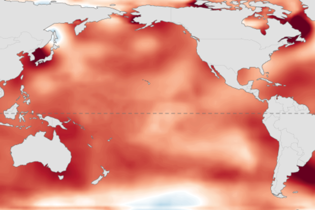
A change is afoot! After months of suggesting an elevated chance for El Niño to develop, the CPC/IRI forecast has flattened out, and neutral conditions are expected (50-55% chance) to continue through the fall.
A recipe for neutral
In fact, the Nino3.4 region (a key ENSO monitoring area in the tropical central Pacific) is hovering around 0.5°C warmer than the long-term average. Yep, that’s the threshold for El Niño, but surely you remember that ENSO is a seasonal phenomenon, meaning those warmer sea surface temperatures need to stick around for several months—long enough to provoke an atmospheric response.
Despite the warmer sea surface temperatures, the atmosphere is not behavi…
Read article
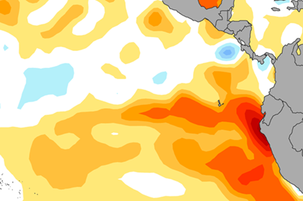
There are many excellent ENSO forecasters around the world who are responsible for providing assessments on the state of El Niño and La Niña for their respective governments. One of my favorite international colleagues is Dr. Ken Takahashi (Instituto Geofísico del Perú) who coordinated the ENSO team in Peru in 2015-16. We just collaborated on a retrospective examination on the 2015-16 El Niño, which will be published in July 2017 (for a pre-print click here). Now we’re faced with an entirely new situation… the potential of a new El Niño in 2017. This comes on the heels of a very strong “coastal El Niño” during February…
Read article
We’re finally starting to get through the spring barrier, when climate models have a harder time making successful forecasts. Forecasters estimate the chance of El Niño forming is about equal to the chance that neutral conditions will continue: both are just shy of 50% through the fall. Unlike two years ago, when the signal that a strong El Niño was developing was clear, most of our prediction tools are suggesting very borderline conditions, making it a tough forecast.
Current events
Ocean temperatures in the Niño3.4 region have been in neutral territory for a few months now, shifting from slightly cooler than the long-term average to about 0.4°C (0.7°F) warmer than average during Apri…
Read article