ENSO Blog
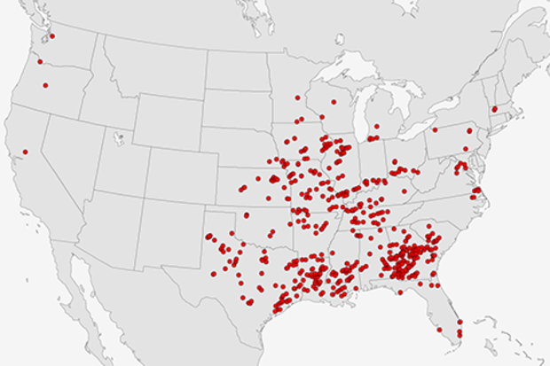
The 2017 U.S. severe weather season has jumped out to a fast start with above-average numbers of tornado, hail and wind reports. (Check out NOAA’s Storm Prediction Center for severe weather reports and summaries.) Most of the tornadoes reported were in the southern U.S., relatively close to the warm waters of the Gulf of Mexico, but several tornadoes touched down unusually far north for this time of year, including 2 EF-1 tornadoes in Massachusetts on Feb 25, 2017 and 3 EF-1 tornadoes in Minnesota on March 6, 2017.
Is there a reason for the recent spate of U.S. severe weather? What makes one season or year have more tornadoes than another? Can we blame ENSO? Since this is the EN…
Read article
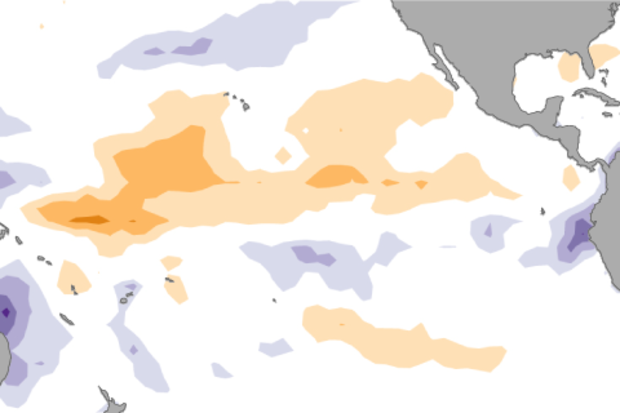
The tropical Pacific Ocean has been giving mixed signals recently, making a forecaster’s job even more difficult! In short, many of the computer models we use are predicting the development of El Niño over the next several months, but current conditions in the tropical Pacific aren’t showing many of the elements we’d expect ahead of a developing El Niño.
We’ve had neutral ENSO conditions since January, and forecasters predict that continued neutral is the most likely scenario through at least June. By September, chances of El Niño rise to about 50%, a slight edge over neutral (~40% chance) or La Niña (~10% chance).
What are forecasters seeing now?
We rely on prediction models becaus…
Read article
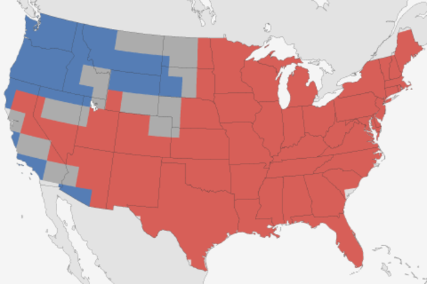
When it comes to the Winter Outlook, there are two equally important blog posts here at the ENSO Blog. The first, obviously, is the actual post on the winter outlook describing what exactly we, at the Climate Prediction Center, were thinking when it came to temperature and precipitation for winter. But we shouldn’t overlook the second post. The one where we look back upon that forecast and say “So… how’d we do?”
So…now that winter’s officially over, how’d we do?
“It’s tough to make predictions, especially about the future”
When Yogi’s right, he’s right. The Winter Outlook, issued in November for December-January-February, looked a lot like what you expect during a La Niña …
Read article
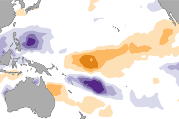
With La Niña in the rear-view mirror, forecasters expect that neutral conditions will continue through the spring. After that, there are increasing chances of El Niño making an appearance, but they’re still not very strong chances—around 50% by the late summer, but not quite at the point to warrant an El Niño Watch. What’s behind this verdict?
Pre-trial briefing
First, a quick review of the recent facts. Sea surface temperatures in the Niño3.4 region (our main region for monitoring and predicting ENSO) were close to average during February, measuring -0.15°C below average in the ERSSTv4 dataset, and +0.14°C above average in the OISST dataset. These two datasets have different input and…
Read article
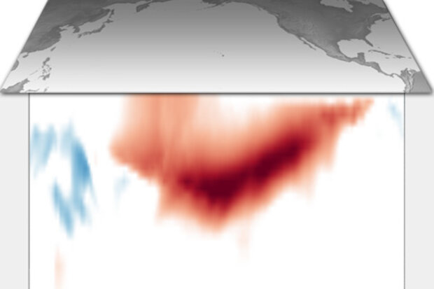
This is a guest post by Dr. Aaron Levine who is a National Research Council postdoctoral associate at the NOAA Pacific Marine Environmental Laboratory. His research is on ENSO dynamics and predictability, and focuses on how changes in weather (or what is often referred to as “noise” in climate studies) influence the evolution of ENSO.
While you can’t set your watch to El Niño or La Niña because it occurs irregularly and sometimes with little warning, when one does emerge it is strongly linked to the calendar month. Typically, events peak during the Northern Hemisphere winter and then weaken or disappear during the spring or summer (1). In part because ENSO is transitioning, the spring is …
Read article