ENSO Blog
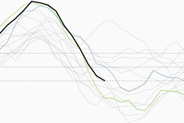
Since the demise of the big 2015-16 El Niño in April, the tropical Pacific has been loitering around in neutral… and now forecasters think it’s likely to stay that way through the winter. For now, we’re taking down the La Niña Watch, since it no longer looks favorable for La Niña conditions to develop within the next six months.
What happened?
Over the last few months, sea surface temperature anomalies (the departure from the long-term average) in the Niño3.4 region have become more negative, which was expected. Currently, the sea surface temperature in the Nino3.4 region is about -0.5° below the long-term average, according to the ERSSTv4 data.
This is the La Niña …
Read article
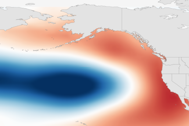
We talk a lot about El Niño and La Niña at the ENSO blog, but there are other phenomena that garner interest among scientists, even if they do not have the same brand recognition as El Niño. So while we wait for a potential La Niña (forecaster checks watch), this blog post will take us on a first date with a sea surface temperature (SST) pattern in the North Pacific Ocean called the Pacific Decadal Oscillation or the PDO. (Tony already provided our meet cute with the PDO.)
First identified in the late 1990s (Mantua 1997), the PDO is the most significant year-round pattern in monthly SSTs across the North Pacific. Similar to ENSO, the PDO has two states – warm and cold – and involves vario…
Read article
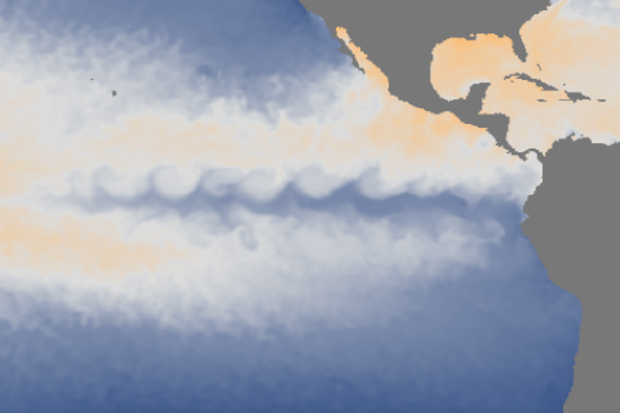
It’s August already, El Niño is long gone, and we’re still stuck in neutral. Is La Niña on the way? And is anything interesting going on in the tropical Pacific?
Currently, forecasters think there’s a slightly better than 50% chance of La Niña developing in August–October and then a 55-60% chance during the winter. Right now, it looks like if La Niña does manage to form and last the five consecutive, overlapping seasons necessary to qualify as an ENSO event, it’s likely to be a weak one.
Let’s start by checking in with current conditions. During July, sea surface temperature in the Nino3.4 region of the tropical Pacific was -0.21°C (-0.38°F) below average, according to ERSSTv4, the dat…
Read article
This is a guest post from Simon Wang, Utah Climate Center/Dept. Plants, Soils & Climate, Utah State University. Simon specializes in climate dynamics, prediction, and their extremes.
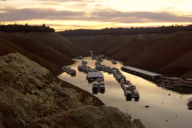
This past winter, most water agencies across California were counting on the strong El Niño to produce surplus water, helping to increase groundwater and make up for what’s been pumped out due to the severe drought. Unfortunately, precipitation during the winter of 2015-16 was barely above the long-term average in the state, despite stormy weather in the northern part of California.
Recent patterns in groundwater
The drought was somewhat alleviated in Northern Californi…
Read article
Neutral ENSO conditions reigned during June and so far in July, as the sea surface temperature in the Niño3.4 region, often used to measure the El Niño/La Niña (ENSO) state, was between -0.5°C and 0.5°C away from average. ENSO-neutral means forecasters can relax a bit, and phones are no longer ringing off the hook now that this whale of an El Niño finally bit the dust.
However, we can’t rest too much. During the last 60 or so years, strong El Niño years have often been followed by La Niña years. There are known physical reasons for this, which we have covered (here and here). Although the record is short, it appears the stronger the El Niño, the greater the chance for a La Niña the ne…
Read article