ENSO Blog
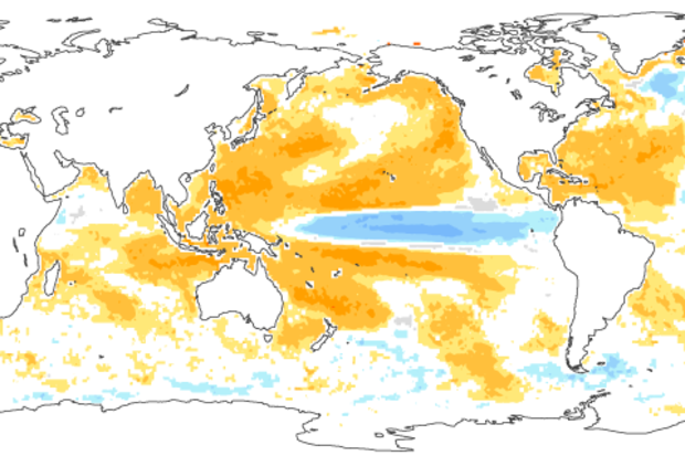
It will soon be time to bid good-bye to the strong El Niño of 2015-2016. Forecasters anticipate that sea surface temperatures in the Niño3.4 region will drop below the El Niño threshold (0.5°C above the long-term average) in the late spring or early summer. After more than a year of El Niño conditions, what’s next?
First, though—what’s now?
The average anomaly (departure from average) in the Niño3.4 region during March still reflected a strong El Niño, at 1.6°C in the ERSSTv4 dataset. However, this was a substantial drop from February’s 2.0°C, which is what we’d expect during the demise of an El Niño.
The atmosphere was still responding to those warmer-than-average El Niño surfa…
Read article

This is a guest post by Dr. Amy Solomon and Dr. Gil Compo of the NOAA Earth System Research Laboratory and the Cooperative Institute for Research in Environmental Sciences of the University of Colorado-Boulder. Both scientists sit within the Physical Sciences Division, which took on a leading role in the El Niño Rapid Response Campaign. They excel at improving our process-based understanding of the models and developing reanalysis datasets, which are critical to understanding and predicting weather and climate.
The ongoing El Niño of 2015-2016 is a historically strong event, the likes of which is only seen once or twice during a scientific career. Not wanting to let this opportunity pass…
Read article
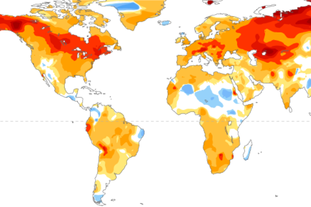
The strong El Niño of 2015/16 is on the decline, and the CPC/IRI forecast says it’s likely that conditions will transition to neutral by early summer, with about a 50% chance of La Niña by the fall. In this post, we’ll take a look back at this past winter and forward to what may happen next.
Current events
El Niño has begun to weaken, with sea surface temperature anomalies across most of the equatorial Pacific decreasing over the past month. The large amount of warmer-than-average waters below the surface of the tropical Pacific (the “heat content”) also decreased sharply, despite getting a small boost in January. The heat content is the lowest it’s been in over a year, and since the s…
Read article
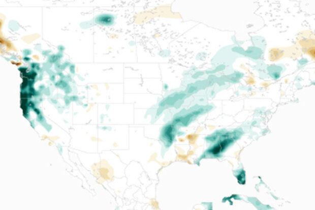
Is El Niño missing? What happened to the rainfall I was promised? What is going on? Some quick answers for those who don't want to read it all (but then you’ll miss the graphical awesomeness I coded up with an assist from climate.gov staff. So read to the end. Please.):
I. No. It’s still here. Based on measurements of sea surface temperature in the tropical Pacific Ocean, this El Niño is the biggest event we’ve seen in almost twenty years.
II. NOAA CPC climate forecasters don’t promise precipitation. For some regions of the U.S., we provide seasonal outlooks for an increased chance of precipitation over a span of a 3-month (seasonal) average.
III. I rea…
Read article
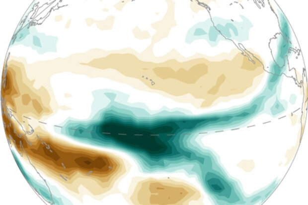
Despite getting a little boost from some strong winds across the tropical Pacific Ocean in January, the warmer-than-average ocean temperatures that drive El Niño have likely peaked. Now that we’re looking out from the other side of the mountain, let’s answer some questions.
So is this the strongest El Niño on record, or what?
This is definitely one of the strongest three going back to 1950. It’s hard to say definitively what single El Niño is the strongest, because there are a lot of different ways to measure strength.
The Oceanic Niño Index, the three-month-average sea surface temperature departure from the long-term normal in one region of the Pacific Ocean, is the primary n…
Read article